
Chance of La Nina pattern forming, bringing welcome rain
Prevailing climate conditions and a cooling Pacific Ocean could see the phenomenon developing in spring.
Gladstone
Don't miss out on the headlines from Gladstone. Followed categories will be added to My News.
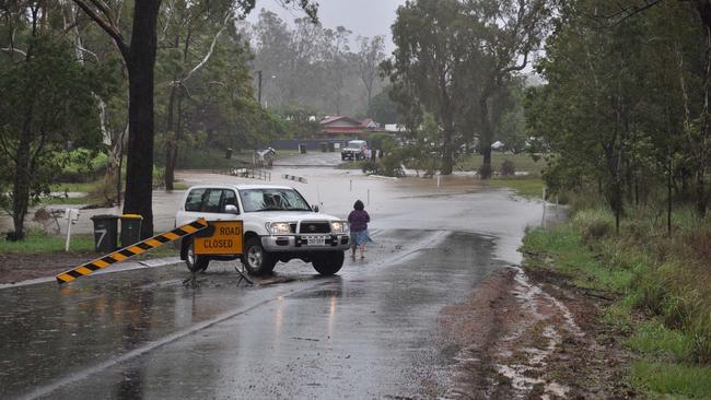
THE cooling of the Pacific Ocean could lead to a La Nina pattern forming off the Queensland coast in spring, bringing welcome rain to the Gladstone region.
Meteorologist Rosa Hoff from the Bureau of Meteorology said current indicators showed if the cooling of the water continued a La Nina could form – but based on the past two years, the chance is only about 50 per cent.
Ms Hoff said there was a 75 per cent chance of above-average day and night-time temperatures for the region due to current climate conditions.
“As we step forward between June and August, it’s likely that maximum temperatures will remain above average during the day,” she said.
“That chance is currently at 75 per cent for June and into July, but as we move toward August and September, that chance reduces to about 60 per cent.
“We will still have cold days in among that, but it’s far more likely to have warm days than cold days in the Gladstone region.”
You should be quite comfortable at night too.
“Overnight, it is actually a stronger signal for the Gladstone region, so we’ve got more than a 75 per cent chance of seeing warmer minimum temperatures,” Ms Hoff said.
“Nights will be above average for the area from June till September, that’s what the models are forecasting.”
Rainfall should continue to remain average for the region until later into winter.
“It’s likely for the rest of June we will see average rainfall conditions continue for Gladstone,” Ms Hoff said.
“Our chances of seeing above-average rainfall for Gladstone are in the 50-60 per cent range.
“Between July and September, that chance of increased rainfall moves up to a 60-70 per cent chance of above-average rainfall for the Gladstone region.”
The ENZO Climate Outlook, which determines La Nina or El Nino weather patterns, is currently in a neutral phase but trending towards a La Nina, meaning increased rain.
“We have seen some cooling in the Pacific Ocean around the equator, which lends itself to a La Nina phase developing,” Ms Hoff said.
“But that would need to continue for some time, not just right at the surface, but through the depths of the ocean as well, before we could issue a La Nina watch, then a La Nina alert.
“We could approach a La Nina with continued cooling, but like the past couple of years, it might not enter an active La Nina.”

Two people accused of trying to drag man from ute at traffic lights
Two people allegedly approached a red Holden Colorado stopped at red light in Norman Gardens and attempted to pull a driver from the vehicle, prompting an appeal from police.

New beginnings for side-by-side Rockhampton businesses
Two popular side-by-side businesses on East Street that are celebrating new beginnings, with changing names and ownership.