Cyclones, heatwaves, flooding rains: Qld’s severe summer outlook
Queenslanders are facing the prospect of severe tropical cyclones, a spike in temperatures, and above-average rainfall this summer, with a horror long-range forecast putting residents on notice.

QLD News
Don't miss out on the headlines from QLD News. Followed categories will be added to My News.
Queenslanders should brace for above-average rainfall, severe tropical cyclones, and sweltering temperatures this summer, the weather bureau has warned.
The Bureau of Meteorology has released its long-range forecast for November through to January, with the Sunshine State in line for horror summer conditions.
November-to-January rainfall for northern Queensland is likely (at least 60 per cent chance) to be above average in most areas but within the typical range in some coastal areas around Townsville and Mackay. Parts of The Cape York Peninsula can expect an increased chance of unusually wet conditions.

BOM also predicted an earlier start to the wet season for North Queensland.
Above average maximum temperatures are also likely in the north of the state, where minimum temperatures are very likely (more than 80 per cent chance) to be unusually high.
While the bureau has predicted an average tropical cyclone season – 11 tropical cyclones in the Australia region, and four making landfall – more severe cyclones are predicted.
National Community Information Manager Andrea Peace said the bureau issued regular forecasts and warnings about the likely severity and impacts of severe weather.
“Tropical cyclone activity varies from year to year but (there is) an average of four tropical cyclones cross Australia’s coast each year,” she said.

“Based on historical patterns alone, a near-average number of tropical cyclones in the Australian region could be expected this season, with a higher proportion likely to be more severe.
“Any tropical cyclone can be dangerous, and it only takes one to significantly impact communities. Last year we had eight tropical cyclones across northern Australian waters. Four crossed our coast bringing damaging winds and heavy rainfall leading to flooding.”
BOM senior meteorologist Felim Hanniffy said above average sea temperatures would increase the intensity of cyclones.
“As we go into the summer months sea temps remain well above average, and that means a lot more extra moisture and energy could enhance rainfall and severe thunderstorm events as well along parts of eastern Queensland,” Mr Hanniffy said.
“The watch point is that with any tropical cyclone development, particularly as we go into the wet season months, will be the fact that the warm sea temperatures could add extra fuel to them.
“So if they do develop, they could be more intense as well.”

Queensland isn’t the only state in the firing line for severe weather. The weather bureau tipped the whole of Australia to experience one of the hottest summers on record.
The Bureau of Meteorology’s Angus Hines said the forecast of above-average temperatures isn’t “super uncommon”.
“(With) the climate warm in recent decades, it’s very common that we do see temperatures shake out,” the senior meteorologist said.
“Pretty much the entirety of the last decade we’ve had summers that sit somewhere above average.”
Australians living in the north and east have been warned to brace for humid conditions in the coming months.
“Perhaps those cooler stints of weather compared to summers gone by might be a bit briefer or more mild,” Mr Hines said.
He added more frequent hot days are on the cards throughout spring, with the full summer forecast set to be released late next month.
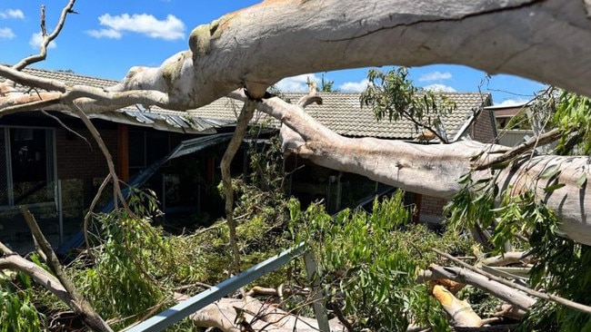
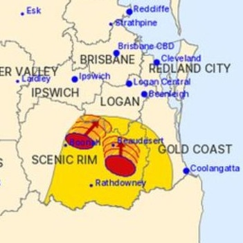
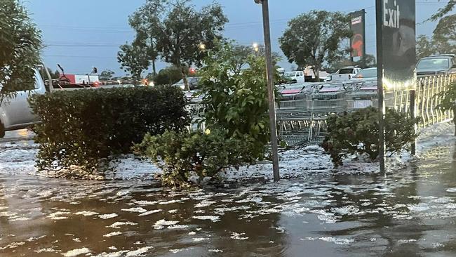
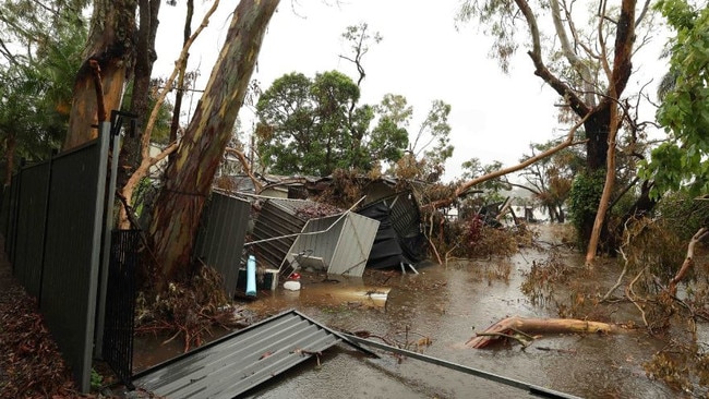
It comes after Queensland experienced severe thunderstorms and hail last week.


