
Cool nights predicted until Sunday, Kingaroy records coldest day
Temperatures in Brisbane will plummet again tonight, after one Queensland town dropped to -1C overnight. SEE THE STATE’S COLDEST TOWNS
QLD News
Don't miss out on the headlines from QLD News. Followed categories will be added to My News.
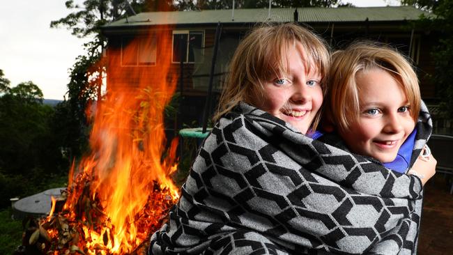
BRISBANE could shiver itself awake to its coldest morning since 2018, with minimum temperatures expected to reach as low as 6C on Thursday.
The river city recorded its coldest morning for 2020 so far yesterday, as the mercury dropped to 9.1C but it is likely we’ll have an even cooler start to the day tomorrow.
The last time Brisbane dropped below 6C was on July 15, 2018, when the minimum fell to 5.2C. Last year, the lowest minimum temperature recorded in Brisbane was 7.4C on July 12.
The Gold and Sunshine Coasts can expect a minimum of 7C on Thursday after recording temperatures around 5C over the last two days.
The Bureau of Meteorology’s Peter Markworth said the cold temperatures would remain all week, before returning to “normal” on the weekend.
“We should see temperatures start to return back to normal for coastal areas - maximums are more or less as normal, it’s really the minimums that will stay as they are below average until potentially until Saturday,” Mr Markworth said.
A cold air mass blanketing the state that has pushed up from the south-west has caused temperatures to plummet overnight, with Kingaroy recording its coldest day of the year today, breaking yesterday’s record.
Mr Markworth said the South Burnett town was today the coldest place in the state when the mercury dropped to -1C.
Kingaroy is expected to reach a minimum of 2C tomorrow.
Brisbane Airport reached a minimum of 7.3C this morning, only 0.2C warmer than the coldest temperature previously recorded this year on June 3.
Mr Markworth said the dry air meant temperatures were dropping at night but then returning to more normal figures during the day.
“The days have stayed pretty regular, they don’t change too much but with the dry air it does mean that the range of temperatures gets wider which is why we’re seeing it get so cold,” he said.
The low minimum temperatures are expected to stay until at least Sunday.
“The southeast starts to return back to normal on the coast when they start to get a bit more moisture, but the rest of the state remains below average,” Mr Markworth said.
“As we get to Sunday the moisture pushes further inland and we start to see most of the coastal districts start returning back to normal.
“Marinara, Warrego, Central West, North West, Channel Country, even the Gulf Country are still below average but all the coastal districts on the east coast have returned to normal by Sunday.”
He said snowfall was unlikely in the Granite Belt region, despite snow falling across the border at Glen Innes yesterday.
“To get snow we would need some form of rainfall and there’s no mechanism at the moment for rain across the state.”
10 coldest temperatures in Queensland overnight
Kingaroy, -1C
Miles, -0.2C
Roma, -0.1C
Charleville, 0.4C
Clermont Airport 0.4C
Blackall, 0.5C
Biloela, 0.9C
Oakey, 1.1C
Wellcamp Airport, 1.2C
Beaudesert AWS, 1.2C
South East Queensland overnight temperatures
Greenbank, 2.6C
Coolangatta, 4.6C
Canungra, 4.9C
Amberley, 5.1C
Sunshine Coast Airport, 5.3C
Gatton, 6.2C
Archerfiled, 6.3C
Brisbane Airport, 7.3C
Tewantin, 7.6C
Beerburrum, 7.9C
Nambour, 8.3C
Redland, 8.5C
Brisbane, 10.5C
Redcliffe, 11.1C
Cape Moreton, 11.3C