
Top 10 hiking parks, tracks in the Burnett
Anyone looking for an affordable and exciting holiday activity need look no further than the stunning hiking and bushwalking tracks in our top 10 Burnett parks list.
Central & North Burnett
Don't miss out on the headlines from Central & North Burnett. Followed categories will be added to My News.
From volcanic summits to sparkling rock pools the Burnett region is home to dozens of national parks and campgrounds.
This cooler than usual summer makes for the perfect weather to get out and explore all the natural wonders on offer.
Here are 10 of the best hiking trails, mountains and picnic spots to make the most of the region during the warmer months.
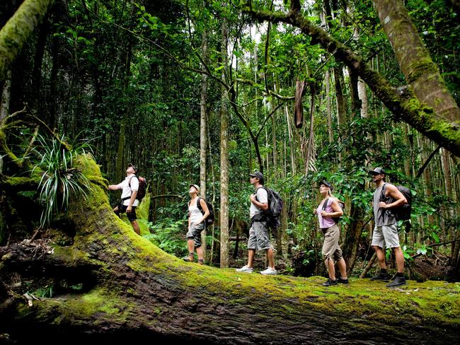
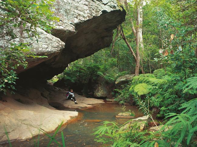
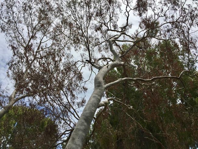
Mount Walsh National Park – Biggenden
Mount Walsh houses one of the more popular hiking tracks in the Burnett region, known for its at times challenging ascents and incredible views.
The mountain is able to be climbed within a day though bushwalking experience is recommended.
Fires are not permitted in the park, but bush camping is allowed at the site.
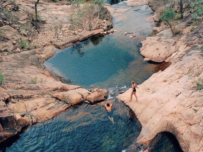
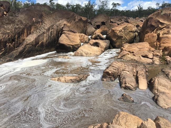
Utopia Falls – Biggenden
A short drive from the base of Mount Walsh the hiking track to Utopia Falls is a pleasant 3km return journey.
Cool yourself off in the native rock pools or bring along a picnic basket and enjoy the sounds of running water.
No dogs are permitted at the site.
Woowoonga National Park – Biggenden
Just 15 km northeast of Biggenden hiking tracks across the park includes the Mount Woowoonga hiking track to the Mount Woowoonga summit.
The four hour return journey is suited for those with bushwalking experience looking for a challenge.
Those looking for a more relaxed hiking experience can take the time to spot natural wildlife in the park.
Auburn River National Park – Mundubbera
Roughly 40 km southwest of Mundubbera the Auburn River National Park offers three walking tracks beginning from the camping and day use area.
From rock pools to scenic lookouts there is a track for everyone ranging from 600m to 3.2km long.
Camping is allowed at the site, however permits are required and fees do apply.
Cania Gorge National Park – Monto
One of the more popular hiking and camping spots in the Burnett, Cania Gorge preserves a section of Brigalow Belt natural region.
There are eight walking tracks spread across the park, catering to a range of skill levels and distances.
While camping is not allowed in the National Park itself, there are several caravan and camping parks in the area.
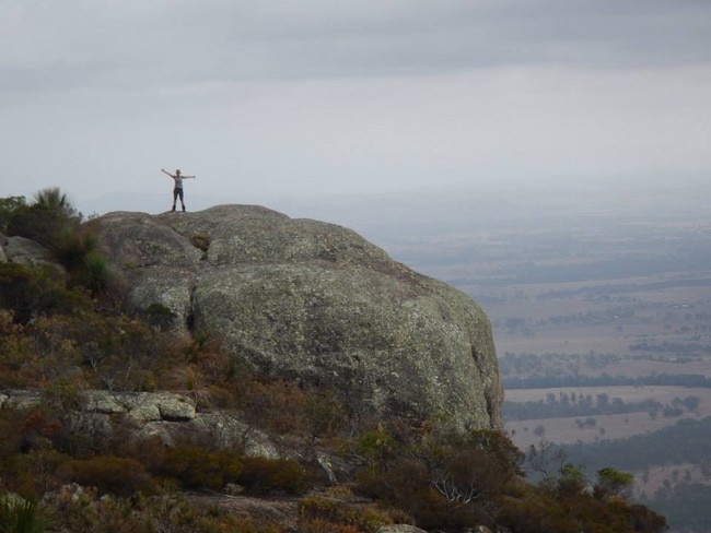
Bunya Mountains – Maidenwell
A short 30 minute drive west of Maidenwell the Bunya Mountains rise more than 1,100 meters above the natural parks below.
The mountain and surrounding national parks have 35 km of walking tracks ranging from short hikes to 10 km long journeys.
There are three main camping sites at the Mountain; Dandabah, Westcott and Burtons Well each offering picnic tables and toilets.
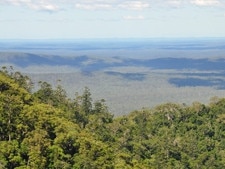
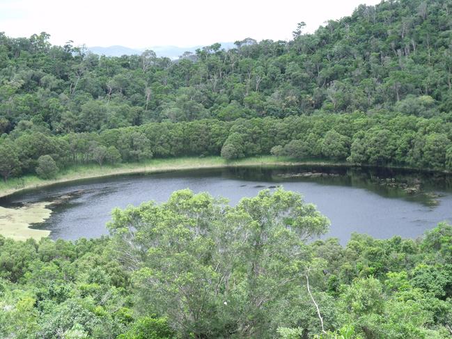
Coalstoun Lakes National Park – Ban Ban Springs
Hikers and geology fans alike are drawn to the Coalstoun Lakes National Park, an area known for its basalt lava rocks formed by a volcano that erupted 600,000 years ago.
Craters and small lakes dot the 4.4 km walking track through the park along with the unique to the region dry rainforest natural vegetation.
Camping is not permitted at the park, however accommodation can be found in nearby towns of Biggenden and Gayndah.
Tolderodden Conservation Park – Eidsvold
A small park tucked alongside the Burnett River, this park is home to stunning Moreton Bay ash trees and accessible camping areas.
A 700m walking track allows scenic views over the park at its peak and can be completed within 30 minutes.
A pit toilet, picnic tables and rubbish bins make this site the perfect stop over on a bigger hiking checklist.
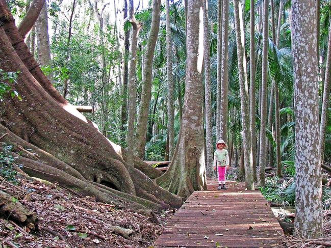
The Palms National Park – Cooya
A hidden gem, this small but stunning national park is a must do for bird watchers and hikers alike.
While the Palms Circuit is only a short 650m circuit, natural wildlife such as grey-headed flying-foxes make for a memorable hiking experience.
Camping is not permitted at the park, however there is a small picnic area perfect for a relaxed meal among the piccabeen palms.
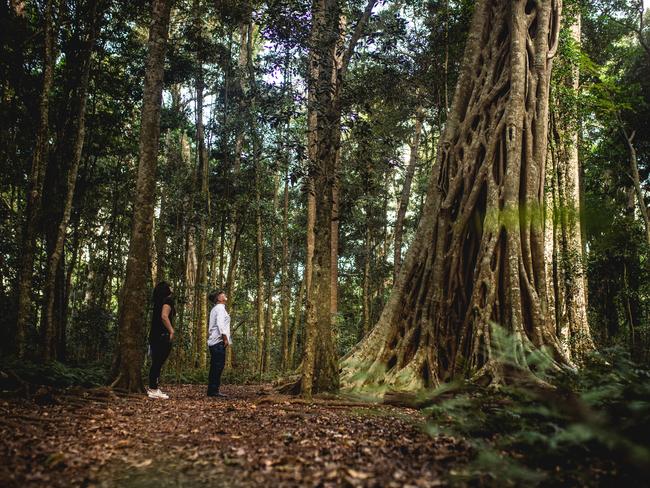
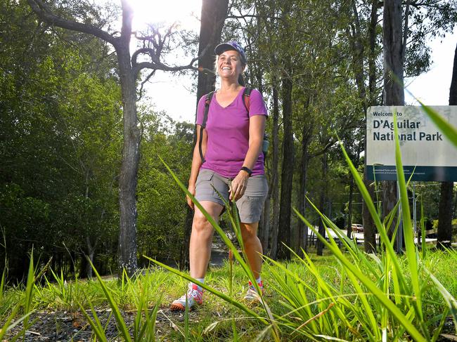
D'Aguilar National Park – Kilcoy
Protecting much of the D'Aguilar Range this park spans a massive 36,000ha of bushland, campgrounds and hiking tracks.
Home to dozens of hiking tracks for any level of experience, the park is also known for its horse riding and motorbike tracks.
Camping is available in the park however permits are required and fees do apply.
Mount Wooroolin – Kingaroy
A short drive from the heart of Kingaroy, the Mount Wooroolin Circuit is the perfect track for an easy walk with incredible views.
The Mount Wooroolin Lookout also offers panoramic 360 degree views of the surrounding lands including the Bunya Mountains and Coolabunia Hill.
Picnic tables and BBQ’s are also available at the lookout, however the steep drive to the site makes it unsuitable for those towing trailers and caravans.
More Coverage


Embattled council says big rates hike needed to stay afloat
Qld regional councils like the North Burnett are caught in the cost of living storm and turning up the heat, raising rates to keep services alive, leaving ratepayers feeling the financial burn.

Childers fire: 25 years on lost honoured in powerful musical
Twenty-five years after the Childers backpackers hostel fire, survivors and the local community will unite in remembrance through a musical performance honouring those lost.