
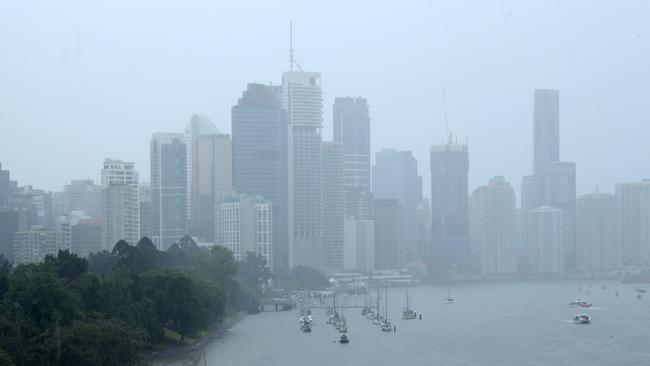
Bureau of Meteorology forecasts more rain, possible storms for southeast Queensland
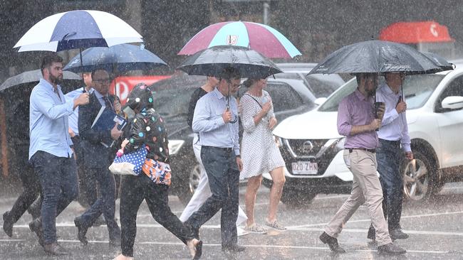
More thunderstorms are predicted today after Brisbane and much of southeast Queensland was lashed by wild weather on Tuesday.

QLD News
Don't miss out on the headlines from QLD News. Followed categories will be added to My News.
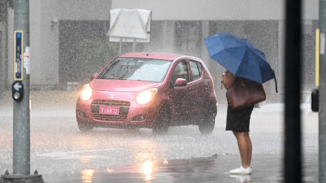
More storms are predicted today after southeast Queensland, including Brisbane City, was hit by flash flooding, heavy rainfall, power outages and traffic chaos on Tuesday.
Bureau of Meteorology’s Ricus Lombard said while the wet weather would continue today, yesterday was likely to have been the heaviest of falls.
“There will be some showers returning again in the mornings, there’s still a pretty good risk of showers and a storm later in the afternoon.” he said.
“Once you get into Thursday there’s still some showers around and decreasing a little bit more coming into Friday, it’s easing through the later part of the week.”
On Tuesday, a severe storm system with heavy rainfall was first detected near Bribie Island, Scarborough and Beachmere at 8.30am, with a whopping 65mm falling in one hour at Banksia Beach.
By 9.30am, the storms hit Brisbane CBD, dropping 23mm of rain over the city in one hour.
Several roads across the southeast experienced flash flooding in Rothwell, Carseldine, East Brisbane, Griffin and Gympie.
Eagle Farm recorded 69mm of rain since 9am yesterday, while Forest Lake had 61mm of falls.
More than 2200 properties lost power in Moreton Bay and Brisbane throughout yesterday’s storm.
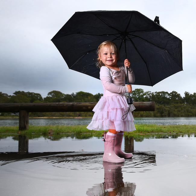
For two-year-old Eden Herlihy, her mother Noa Herlihy said the rain was one of her favourite ways to play.
“Eden loves the rain she loves singing the “rain rain go away” song and as long as she can splash around and get muddy she’s happy,” she said.
“She was soaked and covered in dirt but she went home very happy and content.”
TUESDAY’S RAINFALL TOTALS
Eagle Farm – 69mm
Forest Lake – 61mm
Hemmant – 61mm
Murarrie – 57mm
Clagiraba – 57mm
Coolum – 54mm
Bulimba – 54mm
Maroochydore – 54mm
Coolum – 53mm
Camp Hill – 53mm
Man riding on vehicle bonnet suffers life-threatening injuries in crash
A man who was reportedly riding on the bonnet of a vehicle before falling off has ended up in a Gold Coast hospital with life-threatening injuries.
‘Saved my life’: Qld teen survives two days lost on mountain
A teenager hiker who became lost while hiking on Queensland’s Mount Barney has shared his story of survival after he was found after a two-day search.