
Bundy forecast: Up to 50mm on radar in coming days
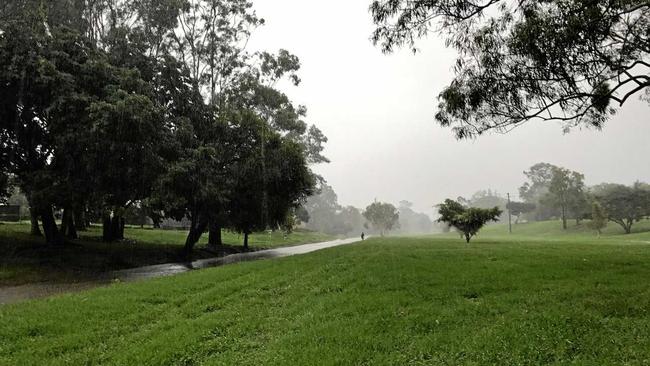
THINGS might look a little bit wetter around Bundaberg over the next week with some rain forecast for the area.
Bundaberg
Don't miss out on the headlines from Bundaberg. Followed categories will be added to My News.
THINGS might look a little bit wetter around Bundaberg over the next week with some rain forecast for the area.
Online weather service Weatherzone is predicting between 20 and 40mm to fall next Tuesday with a further 10mm on Wednesday.
Meanwhile, Meteorologist Janine Yuasa from the Bureau of Meteorology was forecasting a lower total.
Ms Yuasa said a high pressure system over the Tasman Sea could bring anywhere up to 10mm of rain during the next week.
"South-easterly winds will bring showers into the Bundy area but the activity will be a bit hit and miss," she said.
"Temperatures will be around 30 degrees for the daytime maximum with minimums of 20 or 21 degrees which is close to average for this time of year.
Ms Yuasa said the winds offshore will reach up to 25 knots.
"Winds over Hervey Bay are expected to be south-easterly and reach 15 to 20 knots," she said.
"Inland winds will be between 20 and 30 km/h during the day."
After Ex-Tropical Cyclone Oma threatened to cross the coast last week, the surf will be slightly elevated reaching up to one and a half metres.
She said the weather going into next week will be much the same.
"We could see an increase in the shower activity early next week but it's still a bit early to be sure about that," she said.

So-called greyhound ‘death track’ scrapped after million dollar revamp
A meeting of Bundaberg greyhound racing club officials and Queensland Racing has cemented the club’s future after it was told last week it would remain shut down for the next six months.

Calling boss a ‘c***’ doesn’t deserve sack, Qld worker watchdog rules
A Qld council worker, sacked after a “brain snap” text message where he called his boss a “rude c***” and warned he would “punch on” has his job back by court order.