
Strong winds blow South Australia dust storm across border
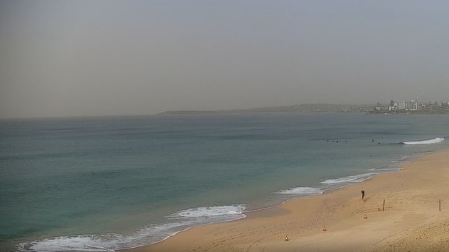
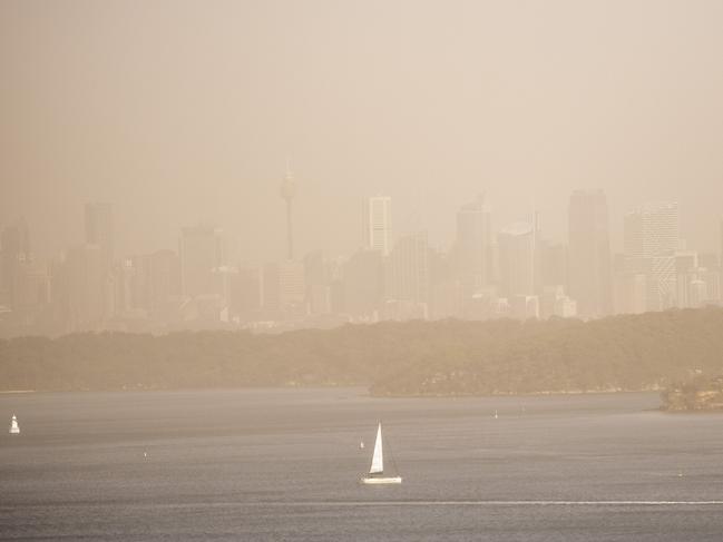
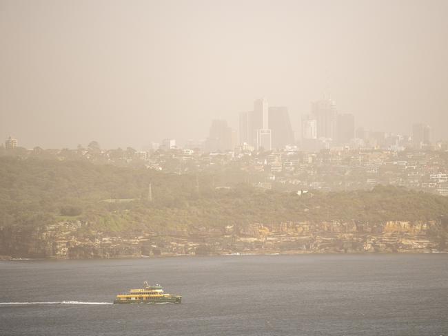
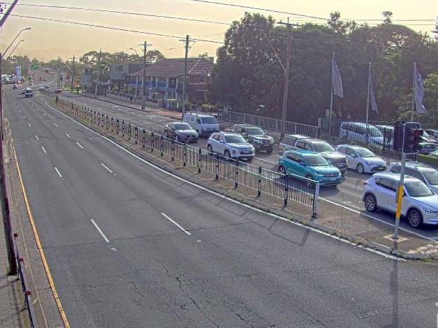
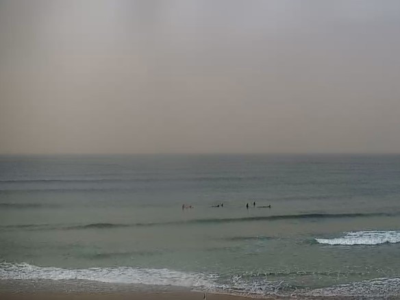
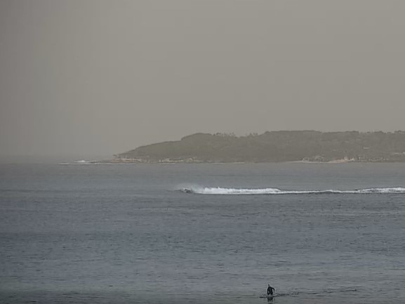
Sydneysiders woke to orange, hazy skies and poor air quality on Tuesday as a result of strong winds blowing a South Australian dust storm north.
NSW
Don't miss out on the headlines from NSW. Followed categories will be added to My News.
Strong winds have blown a South Australian dust storm into NSW triggering a warning for damaging winds and poor air quality in parts of NSW.
Orange, hazy skies were visible across much of greater Sydney as a result of the 50 to 65km/h gusts and will persist until Tuesday evening and the Bureau of Meteorology flagged a wind warning for Wollongong, Nowra, Batemans Bay, Tenterfield, Katoomba and Goulburn.
Wind speeds in the Northern Ranges and Northern Tablelands will also be intense and peak around 90km/h before easing early on Wednesday.

Air quality in the Illawarra and Sydney’s western suburbs was categorised as ‘extremely poor’, while in the the Central Tablelands, Central West, Southern Tablelands, the Riverina and South Coast it was listed as ‘very poor’.
People in these areas have been advised to stay inside with doors and windows closed.
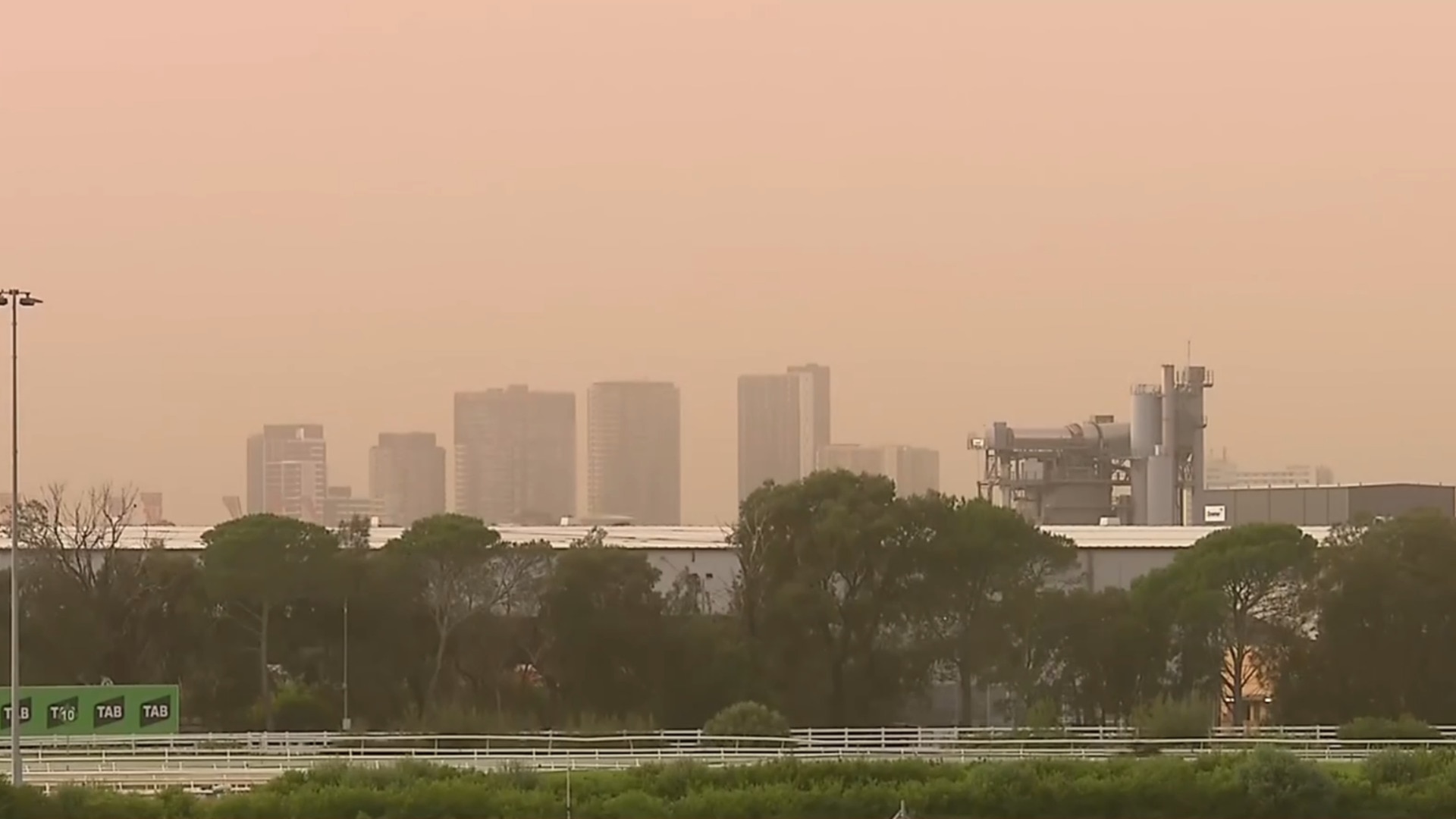
According to Weatherzone the dust storm is a result of loose soil and lack of regular autumn rain in South Australia, combined with the north-westerly gusts blowing it into parts of NSW and Victoria.
Sydneysiders can also wave goodbye to the comfortable mid-20s maximums of April and May, as the Bureau of Meteorology forecasts Sydney’s top temperature will be 21C on Sunday.
Friday will be Sydney’s chilliest day, with a predicted 7C minimum in Campbelltown and Penrith and 6C in Richmond.
Around the state the coldest town was Goulburn, recording a morning temperature of -1.6C, and on Tuesday Cabramurra is subject to a high risk of frost.
There is also a warning to graziers in the Northern, Southern and Central Tablelands, South West Slopes, Snowy Mountains and Canberra area.
“There is a risk of losses of lambs and sheep exposed to these conditions,” the Bureau advised, with Tuesday and Wednesday’s cold rain and winds threatening livestock.
Do you have a story for The Daily Telegraph? Message 0481 056 618 or email tips@dailytelegraph.com.au
More Coverage

Originally published as Strong winds blow South Australia dust storm across border

WATCH: Cops’ blitz on young thugs as violence rages in CBD
A shocking escalation of violent teen bashings and assaults in Sydney’s CBD is being fuelled by the pursuit of social media fame, with kids filming and uploading videos of each other in brawls and random attacks. WATCH THE VIDEO HERE.
New minister urged to review gold mine ban ‘ASAP’
The Opposition and local Aboriginal land council have demanded Anthony Albanese’s new environment minister immediately review the controversial decision to slap a ban on part of a $1 billion Blayney gold mine.