
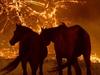
Bushfire risk, temperatures climb as Australian ‘super El Niño’ looms
We’ve just bid farewell to La Nina— but a major swing to dry conditions, warm temperatures and a higher risk of bushfires could be on the cards for the months ahead, meteorologists have warned.


NSW
Don't miss out on the headlines from NSW. Followed categories will be added to My News.
Australia is set for a “super El Nino” amid warnings of dry conditions, warmer temperatures and heightened bush fire risk in the coming months, with a farmer saying “if you’re not prepared, you shouldn’t be on the land.”
Meteorologists suggest the country will likely sweat through a super El Nino from June onwards after three consecutive wet La Nina events.
The term super El Nino is used for what meteorologists call a “strong El Nino”, where a warm climate pattern develops and rainfall recedes.
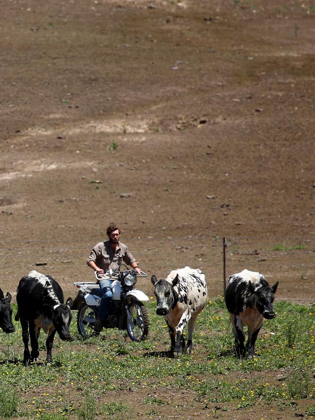
Walgett sheep farmer James Warden said he will be “impacted immensely” by the weather event.
“The lack of rainfall during the cropping season will knock all the yields around and we’re probably in a position out here where we are not going to sow a crop.”
“If this weather event comes through we won’t sow.
“Its worrying but it’s nothing we haven’t seen before. That’s how it works in Australia.”
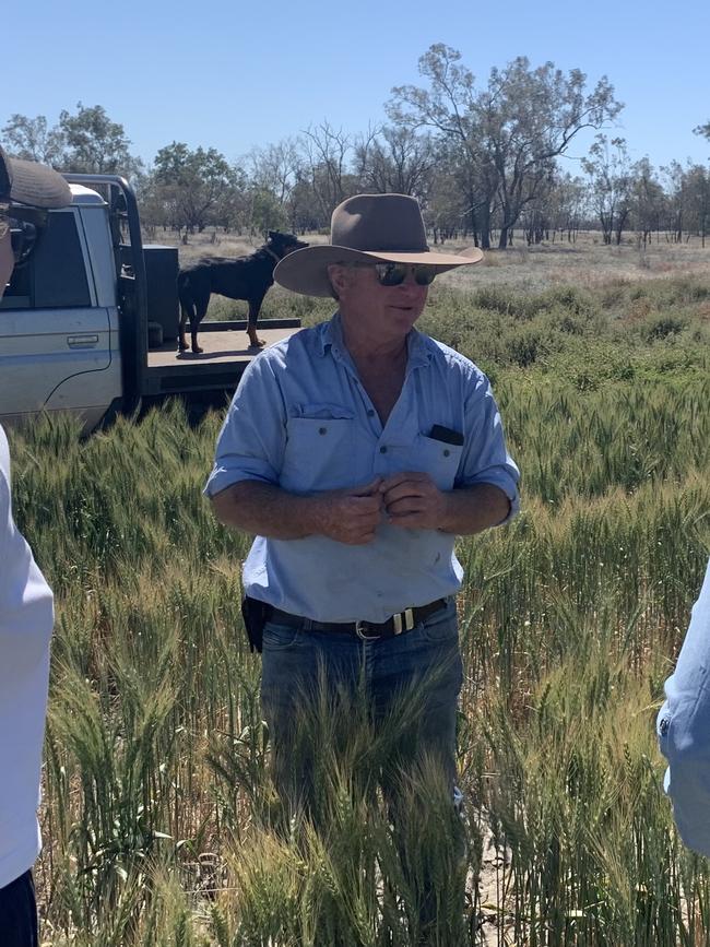
Mr Warden said although he is prepared, he is still disappointed at the news.
“It’s very disappointing as far as our cash flow goes and running a business, but it’s up to farmers to prepare in those good years so we can be financially viable.
“We’ve kept a lot of grain on hand from the wetter years.
“If they (other farmers) haven’t prepared for the dry years, those farmers don’t deserve to be on the land.”
Weatherzone Meteorologist Ben Domensino said “there are strong signs the ocean temperatures are moving towards El Nino, although for the atmosphere there is quite a bit of uncertainty whether we will move into an El Nino and how strong it will be.”
“At the moment it’s not guaranteed,” he said.
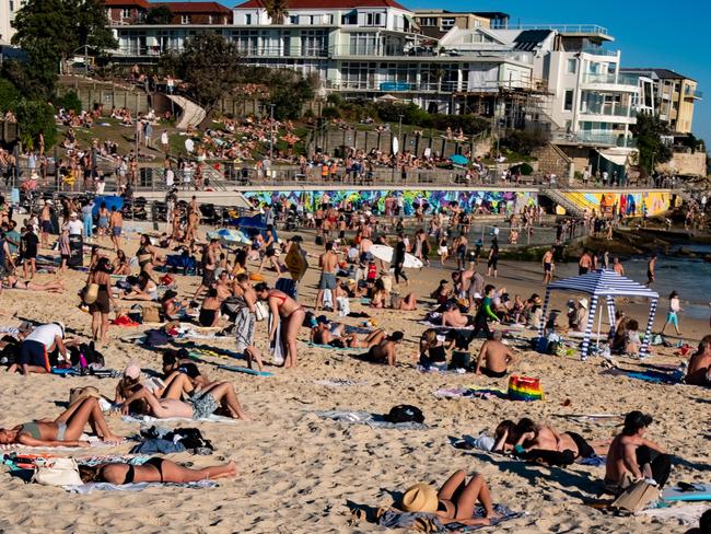
“That doesn't mean there won't be any rain or cold weather this winter (if it does occur). There’s the increased likelihood temperature will be above average and rainfall below average.
“There will still be snow in the alps and we will still have rain in areas that normally see rain.
Mr Domensino said it is “unlikely” we will see a repeat of the Black Friday bushfires.
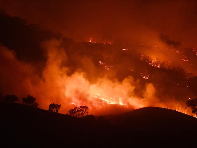
“There is quite a lot of moisture in the landscape which is starting to dry out. The big bushfires occurred after a three year dry period. We’re not going to flip straight from floods into a severe drought. It’ll take years.
“What will be an increased risk as we move into spring and summer is dry grass and cropland areas. We could see more grass fires in Western NSW.
“In a few weeks time as we move into June we’ll have a better idea of what’s going on in the Pacific Ocean.”
Early Warning Network meteorologist Ken Kato said it looks like the El Nino set for spring and summer “will probably be a really strong one.”
“These are the type of weather conditions that increase the risk of bushfires spreading rapidly,” he told Today.
Currently, there is a 55 per cent chance of a strong El Nino, up 15 per cent from last month.
More Coverage

Originally published as Bushfire risk, temperatures climb as Australian ‘super El Niño’ looms
Join the conversation
Drunk prison screw exposed his little baton and twirled it around
Drunk Corrective Services officer Matthew Johnson pulled out his little Johnson and started twirling it around in the beer garden of a busy pub after a boozy wake. Here’s what happened in court.
Read more

Major civil contractors placed in administration owing $130m
A major NSW civil contracting group working on significant Sydney infrastructure projects has seen staff temporarily stood down and collectively owes up to $132m, it can be revealed.
Read more