Monsoon surge raises prospect of NT gulf low
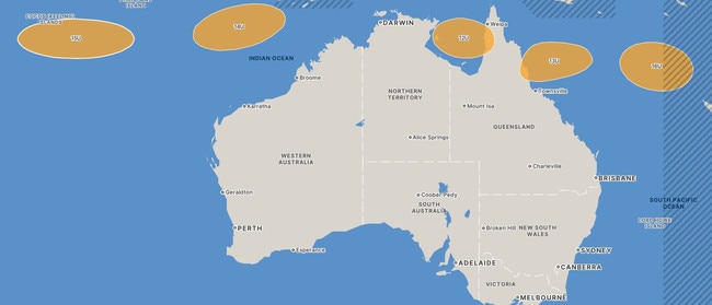
A monsoon surge forecast to move through Indonesia and into northern Australian waters late this week may see five tropical lows form off the WA, Northern Territory and Qld coastlines. Find out where they are.

Northern Territory
Don't miss out on the headlines from Northern Territory. Followed categories will be added to My News.
A monsoon surge forecast to move through Indonesia and into northern Australian waters late this week may see a tropical low form off the Territory coastline.
It is one of five possible lows forming in waters across the north of Australia.
The Bureau of Meteorology said the arrival of the monsoon surge and an associated tropical low may develop in The Gulf of Carpentaria “from the weekend.”
It said the risk of the tropical low becoming a tropical cyclone then “increases to low”.
Meteorologist Sally Cutter said at the same time the surge may also result in a tropical cyclone forming in the north Coral Sea.
“There is considerable uncertainty with the motion and potential development of this tropical low,” she said.
“We have two in the Coral Sea on the map at the moment.
“The conditions indicate that we are certainly going to see an increase in the weather across the Top End at the end of this week some time.
“We have the risk of five cyclones forming at the weekend right across the waters in and around North Australia.
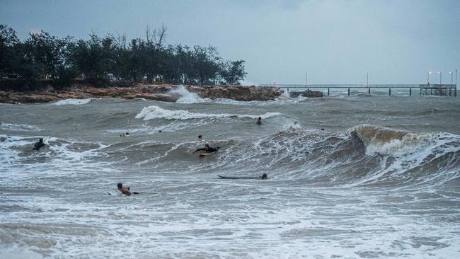
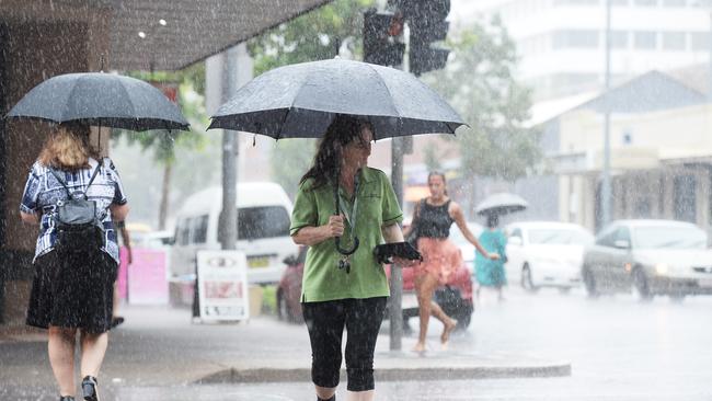
“Over the Top End we are going to see an increase in showers and storms.
“We are going to have a low level trough.

“It doesn’t quite have structure yet this week for a monsoon trough, but that is something we will be looking at very carefully to determine whether it is just a transitory feature coming through.
“At this stage there is only a low probability of The Gulf of Carpentaria being a cyclone … around five to 10 per cent.”
Ms Cutter said a tropical low was also possible in the Timor Sea north of the Kimberley coast late this week.
If it develops, the low is expected to move west and remain north of the WA coast near the Pilbara.

Despite the late arrival of the monsoon across northern Australia the Bureau said the 2024–25 Australian tropical cyclone season was expected to be like the long-term average, in which 11 tropical cyclones form in the Australian region, four of which cross the Australian coast.
However it said the likelihood of severe (strong) tropical cyclones was higher than average, because of the warmer than average ocean temperatures forecast for the Australian region in the coming months.
The prospects of the monsoon’s arrival and the associated heavy rains that go with it was music to the ears of local anglers in Darwin on Monday.
Caleb Gates said he was happy to hear the forecast of a monsoon surge by the Bureau of Meteorology.
“It is well needed, especially for fishing, hopefully it will put some fresh water in the creeks,” he said.
“I was out at the Daly River boat ramp and it certainly doesn’t have as much water flowing past it for this time of the year.
“We got a few barra, but I would like to see a lot more water flowing through it.”
Mr Gates, who is a plumber, said the monsoon rains also resulted in an uptick in business which was always welcome.
The monsoon onset of this wet season across the Territory and northern Australia is the latest known on record.
The previous latest known onset was January 25, 1973 - the following December, Cyclone Tracy hit Darwin and devastated the city.
More Coverage
Originally published as Monsoon surge raises prospect of NT gulf low


