
Revealed: Qld’s 38 highest-risk regions this horror fire season
Queensland Fire and Emergency Services have identified the 38 regions that are at high risk for bushfires this season. SEE THE AREAS OF CONCERN

Emergency Services
Don't miss out on the headlines from Emergency Services. Followed categories will be added to My News.
Queensland Fire and Emergency Services have identified the 38 regions that are at high risk for bushfires this season, as one of the state’s top firefighters warns: “It could go from zero to 100 in less than an hour.”
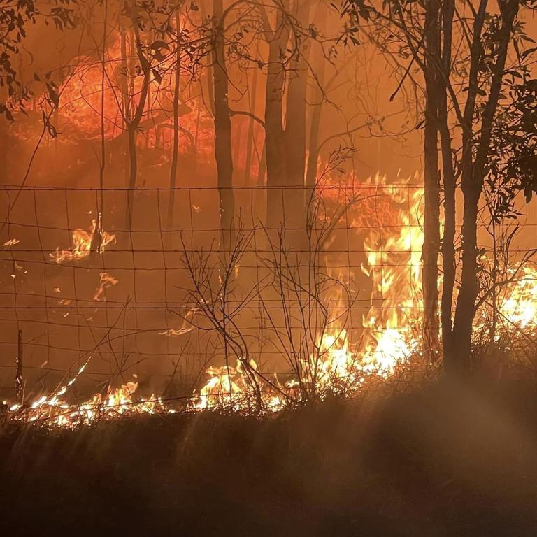
Whole regions are at risk of out-of-control bushfires as a mix of hot and dry weather, coupled with large fuel loads combine for worrying fire conditions.
SCROLL DOWN FOR THE LATEST WARNINGS AND ALERTS
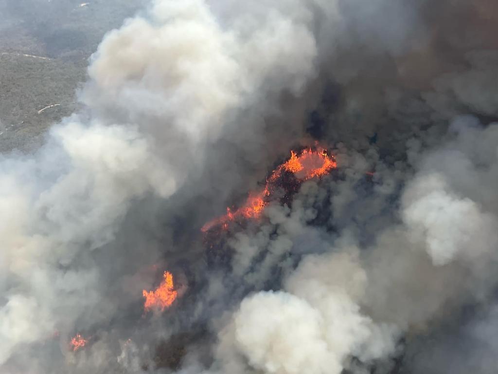
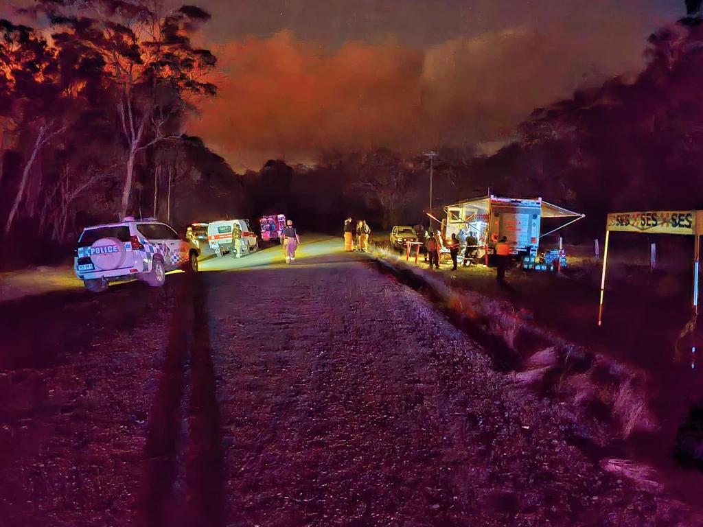
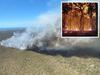
As of Sunday 15 fires were burning across Queensland, from the southeast through to the far north of the state.
A massive blaze at Beerwah on the Sunshine Coast, which forced evacuations and the partial closure of the Bruce Highway, is now under police investigation after being deemed suspicious.
Rural Fire Service Acting Assistant Commissioner Peter Hollier said this bushfire season was unlike others we’d seen in recent years, but next year could be potentially worse.
He said there were many more high-risk areas this season compared to last year.
“The last couple of years we’ve had just a few locations not across the whole state.”
The Courier-Mail has obtained information from Queensland Fire and Emergency Services identifying the 38 most high-risk local government areas in Queensland for bushfires, including specific towns and suburbs within those areas.
The Australasian Fire and Emergency Services Authorities Council’s spring report predicts bushfires in the state may be destructive with a combination of drying fuels, below average rainfall and above average temperatures.
The report states the country’s climate influences have shifted “significantly” since last year.
“Many regions have also seen increased fuel growth due to above average rainfall throughout recent La Niña years, which is contributing to increased risk of bushfire across locations in Australia during the spring 2023” the report said.
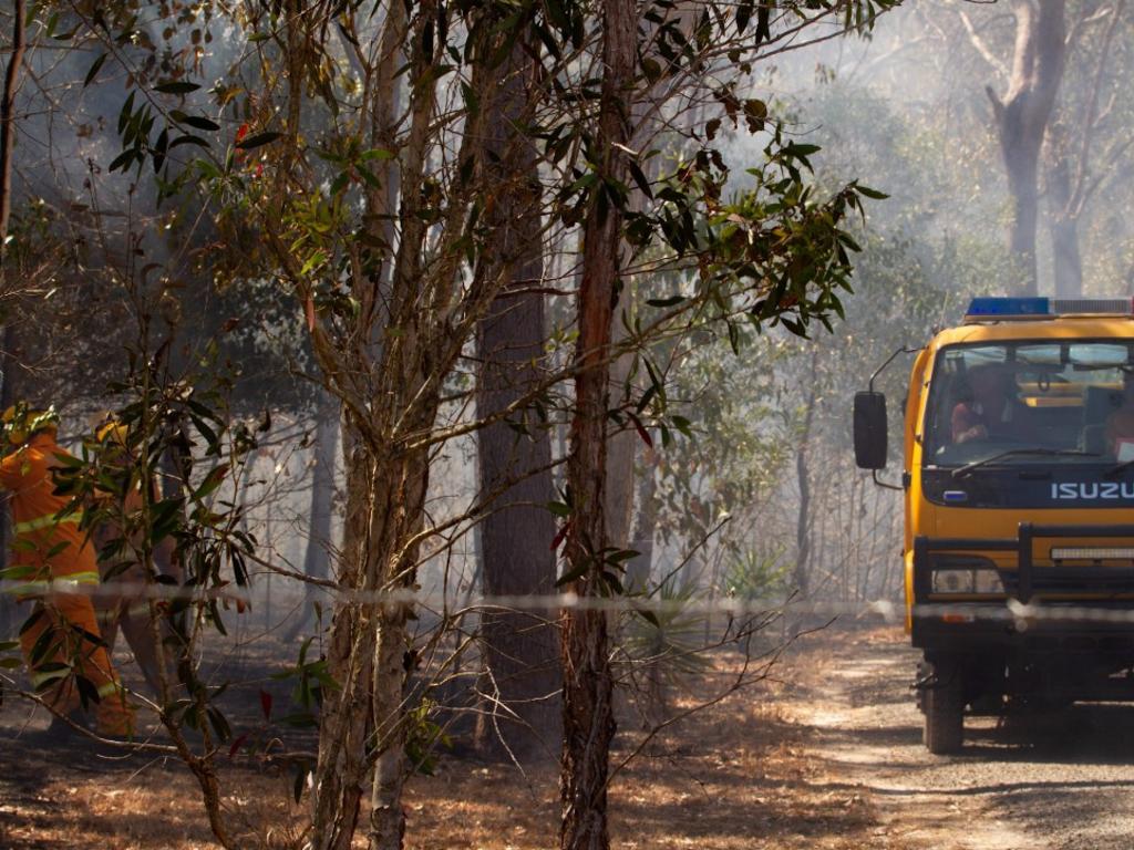
Minister for Fire and Emergencies Mark Ryan said it has been a busy start to the season, but the service was well prepared.
“Queensland’s firefighters and Rural Fire Service volunteers, along with partner agencies, have been particularly busy over past months and it is expected that this tempo will continue for the next few months,” he said.
“Unfortunately, the Bureau of Meteorology is predicting an extended bushfire season for Queensland this year.
“QFES advises that while there is always a degree of unpredictability with natural disasters,
Queenslanders can be assured that its fire and emergency services are well-resourced, well-trained and well-prepared for this year’s bushfire season and all personnel will do all they can to respond to any incident.”
In the southeast, the local government areas of Somerset and Redland City were most at risk.
Mr Hollier said these areas were particularly concerning as bushland was close to homes.
“It could go from zero to 100 in less than an hour,” he said.
On the Sunshine Coast, areas in the hinterland west of Maleny were high-risk.
Mr Hollier said there were pockets of dry area in these localities.
“Some areas are still spongy, some areas are tinder dry.”
The local government areas of Toowoomba and Southern Downs were the most at-risk areas in the southwest.
Lockyer Valley Regional Council mayor Tanya Milligan said “no area” in her region was immune from bushfires this season due to dry conditions and above average temperatures.
Towards the Gold Coast, the hinterland was most at risk, as well as pockets in Beaudesert, Ipswich and Cunningham’s Gap.
Mr Hollier said it was likely these areas would increase.
“These areas will no doubt grow and possibly get bigger. There’s potential for it to get closer to the coast.
“Given the absence of rain, these areas will increase.”
A Logan City Council spokesman said they identified 14 suburbs with the highest risk levels, including Bahrs Scrub, Bannockburn, Belivah, Carbrook, Cornubia, Daisy Hill, Forestdale, Greenbank, Logan Village, Munruben, Shailer Park, Stockleigh, Tamborine and Wolffdene.
“Logan City Council manages more than 7200ha across more than 900 parks and bushland reserves. About 69 per cent of this area is mapped as bushfire prone,” the spokesman said.
Some rain around the Fraser region alleviated conditions, but Bundaberg was still the driest and most at-risk in that area.
In Central Queensland, where graziers and pastures start to emerge, Rockhampton out to Biloela were of concern, as well as the suburbs of Mount Archer, Mount Morgan, Miriam Vale and Byfield.
Rockhampton Regional Council also identified Bajool and Stanwell as areas of risk.
Livingstone Shire Council identified Bondoola, Barmaryee, Cawarral, Emu Park and Ogmore as areas of concern.
Further north, LGAs between St Lawrence and Sarina were at risk, as well as areas west to Aramac and Torrens Creek.
As was Townsville, Herveys Range, Oak Valley, Bambaroo, Nome, Alligator Creek, Hinchinbrook and west to Mount Isa.
Into Far North Queensland, Innisfail, the Tablelands and Mareeba were all high-risk.
The Cassowary Coast Area Fire Management Group has also identified Mahogany Ridge in Cardwell, and Kennedy Township, as its most high-risk areas for their region.
Mr Hollier said this fire season could be a taste of what’s to come next year.
“I’ll never say I’m not concerned. Next season could be a challenging year for us.
“We can only deal with the here and now, that’s imperative.”
Mr Hollier urged everyone to have a bushfire plan and to practise it in case they needed to use it this season.
AREAS OF CONCERN
SOUTHWEST
Toowoomba, Southern Downs, Western Downs, Goondiwindi, Maranoa and Balonne LGAs. Concern about the grassland areas, particularly closer to harvest time.
SOUTHEAST
Gold Coast hinterland and pockets around Beaudesert, Ipswich and Cunningham’s Gap.
BRISBANE REGION
Somerset LGA and Redlands LGA, particularly Shotgun Ridge.
NORTH COAST
Pockets across the Sunshine Coast and Hinterland, particularly in western parts (back of Maleny towards Blackbutt), Gympie LGA, Fraser Coast LGA and Bundaberg LGA, North Burnett LGA and South Burnett LGA.
CENTRAL
Mount Morgan, Mount Archer, Miriam Vale, Rockhampton to Biloela, including Byfield.
LGAs west of Rockhampton through to Longreach and south to Charleville. St Lawrence through to Sarina, out to Aramac and Torrens Creek.
NORTH
Mount Archer into the Leichhardt River, Nome and Alligator Creek area, Townsville area – Hervey’s Range, Woodstock, Oak Valley. Pockets around Mount Isa.
Bambaroo.
FAR NORTH
Innisfail, Hinchinbrook, Tablelands, Mareeba.
More Coverage

Join the conversation

Truck rollover sparks mass delays on Gateway Motorway
A truck rollover in Brisbane’s north has caused major traffic delays on the Gateway Motorway.
Read more

Watch: Moment cops catch sauced Suzuki driver at servo
“You’ve been drinking while you’ve been sitting here”, a police officer tells an alleged drunk driver in an unbelievable exchange caught on camera. SEE THE VIDEO.
Read more