
By the numbers: How much rain fell over Far North Qld
The numbers are in after an overdue wet season downpour hammered the Far North – and now meteorologists have revealed what comes next. SEE THE LIST
Cairns
Don't miss out on the headlines from Cairns. Followed categories will be added to My News.
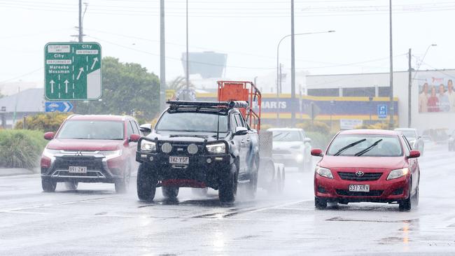
UPDATE: Cairns has enjoyed heavy rainfall this week after the wet season seemingly disappeared but clearer skies are on the horizon as the weekend rolls in.
The coastline can expect the rain to start easing from tomorrow as it shifts north, heading toward the Cassowary Coast and the Daintree as they expect a further 50 to 150mm over the next few days.
BOM meteorologist Shane Kennedy said the wet weather had acted as a relief for residents from the temperatures brought around by the heatwave.
“It’s likely to stay very cool under the rainfall, Cairns only reached 26 degrees today where the March average is usually hitting 31,” he said.
“The forecast for Cairns is moderately wet for the next few days, receiving 10 to 25mm a day until it properly starts to clear, but it’s also set to hit average temperatures again starting tomorrow.”
Rainfall at the Cairns airport was sitting at 73mm this morning but is expected to get another 30 to 40mm in the next few hours with similar rainfall expected for the Cassowary Coast.
EARLIER: The numbers are in after an overdue wet season downpour hammered the Far North with meteorologists revealing what comes next.
Southern parts of the city copped a long awaited bucketing overnight with the rain gauge at Cannon Park in Woree recording 120.6mm from 9am on Monday to 7.30am Tuesday.
Bureau of Meteorology forecaster Helen Reid said the Daintree picked up 121mm over the same period, while Copperlode Dam – currently at 100 per cent capacity – recorded 107mm.
It was a much needed drop for parts of the Far North, but Ms Reid did not believe a late heavy wet season would last long.
“Unfortunately we’re not going to get a huge amount over this next little while,” she said.
“You did have a bit of an extra push in the trade winds that went through.
“It will still be a bit breezy today, and that enhances the rainfall, but that will be easing off in the next few days back to more regular showeriness than anything of note.”
The good news is the heatwave that lasted several weeks is not likely to return.
“Temperatures will be creeping up for the next few days but it should be warm rather than hot,” Ms Reid said.
Rainfall readings
■ Cairns Racecourse – 120.6mm
■ Daintree – 121mm
■ Copperlode Dam – 107mm
■ Cairns Airport – 72.6mm
■ Low Isles – 56mm
■ Cape Flattery – 43.6mm
■ Innisfail Aero – 36.6mm
■ Cooktown – 31.2mm
■ South Johnstone – 25.4mm
■ Weipa – 24.4mm
■ Cowley Beach – 15.8mm
■ Mareeba – 11.4mm
■ Scherger – 5.2mm
■ Ravenshoe – 2.4mm
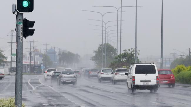
MONDAY AFTERNOON: After an unusual dry spell the rain has finally arrived across much of the Far North, with 175mm falling in one coastal area and more expected to pelt down.
The Cassowary Coast copped the biggest rainfall totals in the 24 hour period to 9am on Monday, with 175mm falling at Upper Murray Road in the south of the region.
The coastline can expect a further 50-80mm to fall today and tomorrow, while Cairns may get up to 30mm.
The rain has already begun to affect parts of Cairns, including the testing clinic at Cairns Showgrounds.
A post on Cairns and Hinterland Hospital and Health Service Facebook page said the clinic had to temporarily close because of flooding. But other locations were still open.

“Our drive-through clinic on Aumuller St remains open, with extra staff deployed to accommodate the increase in demand,” the post read.
Meteorologist Olivio Regano from the Bureau of Meteorology said larger “spot falls” are also expected in places such as the Daintree Rainforest, which recorded more than 100mm at Bairds Crossing overnight.
“Cairns can expect between 10-30mm tomorrow but Wednesday onwards it will drop back, just one or two passing showers,” he said.
“Today and tomorrow (will be) pretty heavy, but if you’re a betting person that’s the range you would go for in Cairns (10-30mm) and you would be looking at a range much higher in the Cassowary region.”
Mossman and Cairns recorded over 54mm overnight while Kuranda had 58mm.
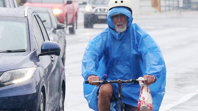
Waiting in rain at the Mossman Post Office, north of Port Douglas, Douglas Shire resident Karla Fox said, “it was about time the rain came.”
“I was starting to think it might not come,” she said.
“But it’s certainly here now.”
Mr Regano said despite the deluge, there would be little concern “about heavy rain filling up creeks and things like that” from Wednesday onwards.
“You wouldn’t probably have a picnic because you will get rained on at some point,” he said.
“There is always going to be places with more than that but we can’t pin point them.
“The only people who are missing out (on the rain) are from the Tablelands.”
MONDAY MORNING: WELCOME showers and a south easterly change have many hoping the wet season has arrived, but Bureau of Meteorology duty forecaster Harry Clark said there was still a way to go, with rainy weather around Cairns set to ease by Wednesday.
The Cassowary Coast region has had the best rain.
Since 9am on March 13, at Tully 175mm was recorded compared with just 30mm for Daintree.
Cairns airport recorded 63mm.
“There’s cooler winds as well, much more comfortable than the awful humidity and high temperatures of the heatwave – the south easterly wind put an end to that and we are seeing normal wet season temperatures, 30 degrees today and up a little on Wednesday and Thursday to 32 and 33 degrees, with a minimum of 24,” Mr Clark said.
Cairns has had 109mm thus far in March and the average is 416mm.
For February, the average is 437.8mm and Cairns received 127.2mm.
“We will see showers stick around today and tomorrow and the focus will shift further north to Daintree, Cooktown and the northern peninsula,” Mr Clark said.
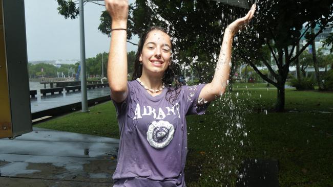
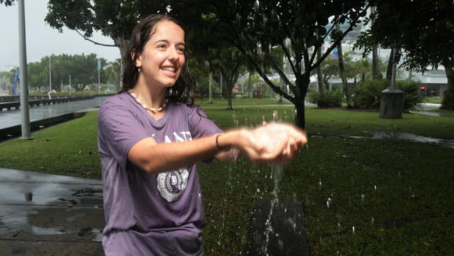
SUNDAY: TOURIST Chiara Garraffo was among those enjoying the cool change on Sunday, as a south-easterly surge push through the Far North, bringing rain and a reprieve from the past week’s oppressive heatwave.
And she wasn’t letting the downpour dampen her spirits.
“I mean we’re on holiday so we’re trying to escape a little bit so that we can enjoy our time a little bit more,” she said.
Bureau of Meteorology senior forecaster Felim Hanniffy said a south-easterly surge had moved up through the Far North overnight on Saturday, purging the stagnant, humid north-easterly air mass which was responsible for the previous week’s heatwave conditions.
Mr Hanniffy said the heaviest showers would fall on Monday morning as the south-easterly pushed north, with the showery conditions to remain for the rest of the week.
“Temperatures are dropping back to around average, and overnight minimums will be back to around average as well,” he said.
Cairns can expect a maximum of 30C on Monday, with 20mm to 40mm of rain forecast. Tuesday will bring a minimum of 24C and a maximum of 30C, with 8mm to 30mm of rain.
More Coverage


Originally published as By the numbers: How much rain fell over Far North Qld

What will three years of Smith and Katter mean for FNQ?
The Far North’s two federal members of parliament have shared their visions, goals and apprehensions for the term ahead. This is what to expect from our elected reps for the next three years.

Dog hit with sledgehammer while protecting woman, court told
An Edmonton fencer has smashed his partner’s dog to the head with a sledgehammer as it tried to protect her from his ‘disgraceful’ attack, a court has been told.