
Expert predicts chance of record breaking dry season rainfall
With double the average July Cairns rainfall already collected in the gauge, a rain record set in 1969 is a chance of being broken. What’s causing the out-of-season deluge and who got the most rain?

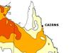
Cairns
Don't miss out on the headlines from Cairns. Followed categories will be added to My News.
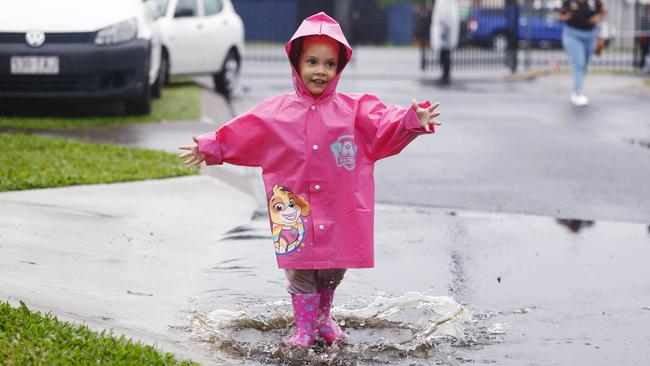
A half century old July rainfall record is a chance of being toppled with two weeks gone in the month and double the average July rainfall has already been collected in the Cairns Airport gauge.
The highest rainfall ever recorded fell in 1969 and amounted to 145mm at the Cairns Airport.
So far this month, big dry season 24 hour totals of 16.2mm on July 1, 18.8mm on July 2, 20.8mm on July 4 and another 7mm on Friday have combined (with other smaller falls) to total 71mm.
The 14 day total is more than double the July mean rainfall figure of 32.2mm.
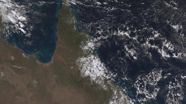
The entire coastal zone from Hinchinbrook Island to the Daintree has received a drenching in the past 24 hours.
Modest in comparison to wet season totals, but a smattering of falls between 24 and 49mm were common from Mission Beach in the south, Tully weir alert in the west and the Goldsborough Valley in the north.
And there’s more rain to come according to senior BOM meteorologist Felim Hanniffy.
“It nothing overly heavy but persistent showers are sticking around and from Thursday showers ease,” he said.
“You will have a period of showers at the beginning of the week and it will clear to the latter parts of the week.
“At this stage it looks like they will not fully clear until next weekend.
“They will be more nuisance showers but there will be more around the Cassowary coast.”
Mr Hanniffy said the reason for above average rainfall in Cairns and around the Cassowary coast was a high pressure system moving further south which has caused a lingering cloud formation over much of the east coast.
“It’s not a totally uncommon thing at this time of year even with developing El Nino conditions and trade flow during the winter months,” he said.
A total of 9mm has fallen at the Cairns Airport in the past 24 hours, 15mm at the Kamerunga bridge, 18mm at the Kuranda Railway Station and 10mm was recorded at Black Mountain.
But in terms of the tumbling of historic rainfall totals, Mr Hanniffy said with two weeks of the month remaining there was a chance, but out-of-season storm activity was needed.
“We probably need more than trade showers, the main thing is we already have above average rain but in terms of an all-time wet we need some kind of weather system from the west combined with a moist onshore flow to differentiate it from other Julys,” he said.
“With half of July to go, whose is to say, if we get a significant rain event?”
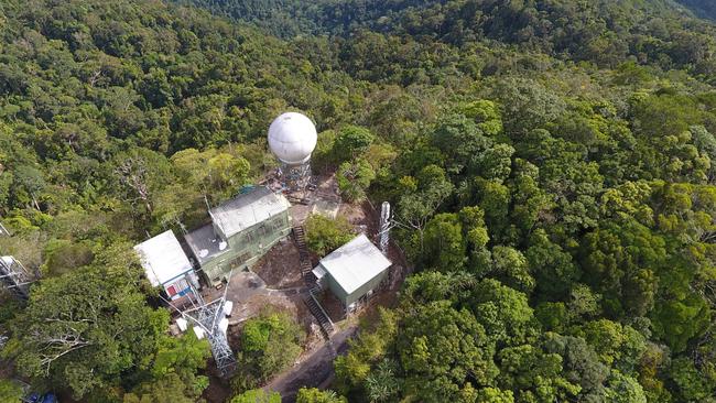
In other weather updates Mr Hanniffy said the BOM weather station at Saddle Mountain that has been out of action since May 22 to allow for a major upgrade is expected to be operational by the end of the month.
A new digital receiver and control system for the Cairns radar will improve severe storm prediction and cyclone forecasting.
“It’s probably due back on in the latter part of July,” Mr Hanniffy said.
“It should make it more reliable and the upgrade was significant.”
More Coverage

Originally published as Expert predicts chance of record breaking dry season rainfall
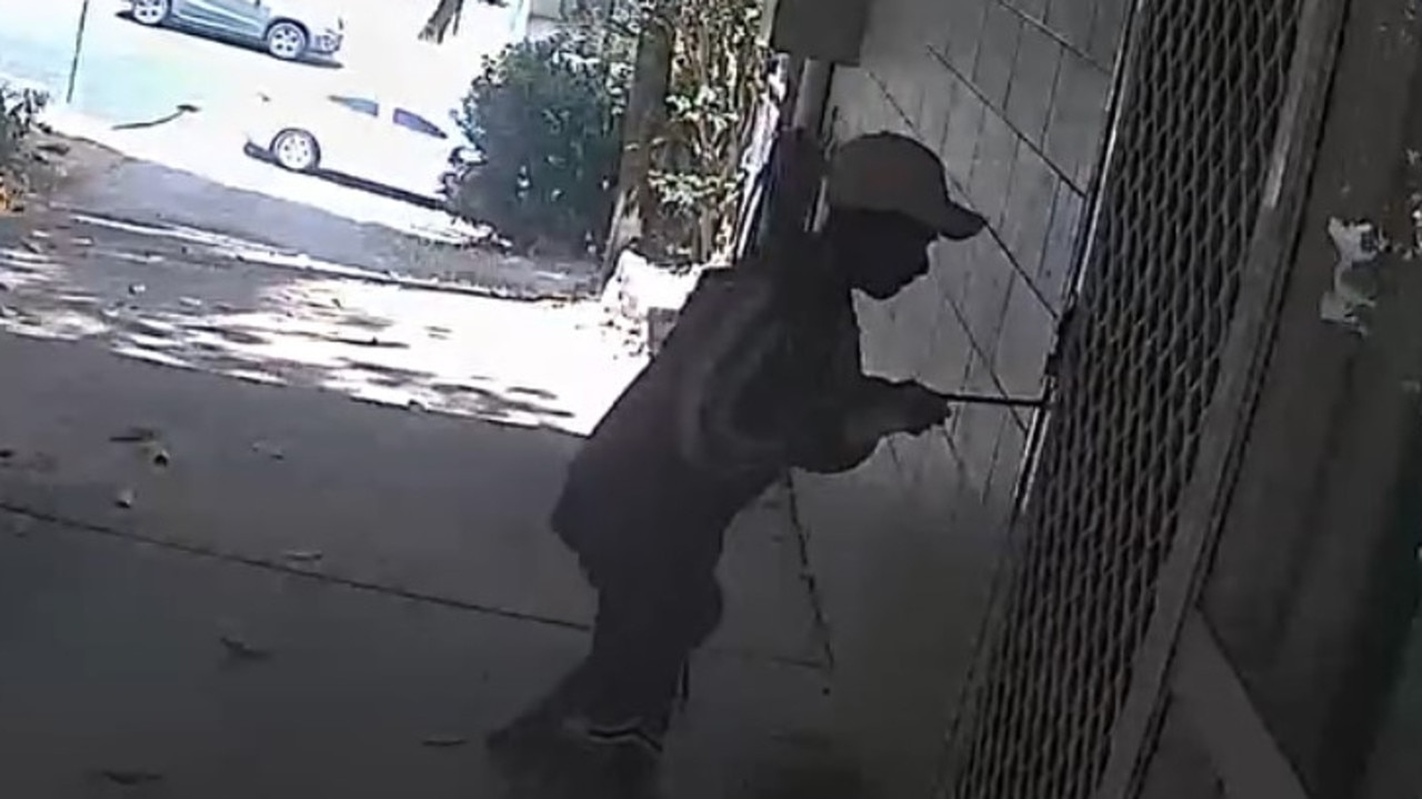
Video captures kids cracking home security in under 30 seconds
A video showing kid crims busting through the side door of a Cairns home in less than 30 seconds has revealed the vulnerability of security screens.
Win a Cape York trip of a lifetime during Sawfish Sighting Week
Tropical Far North waters are a haven for four of the world’s five species of sawfish and citizen scientists are needed to help find out how many of the critically endangered are left in the wild.