Thank you for joining us of our coverage of the “bomb cyclone” event that has lashed coastal NSW, bringing down trees and cutting power to thousands of homes, as a secondary low brings more damaging winds this evening and into Thursday morning. Here’s what we covered today.
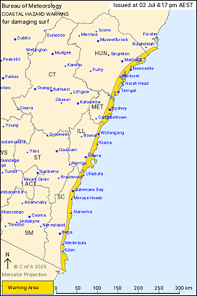
- The low-pressure system remains in place off the east coast of NSW, while another surge of bad weather could be on the way when a secondary weather system swings towards coastal regions tonight, bringing more damaging winds and powerful waves.
- Winds averaging 60 to 70km/h are forecast for Sydney, as well as destructive gusts of around 90km/h, before easing on Thursday morning.
- Rains began to subside this evening, but minor to moderate flood warnings are in place for the Hawkesbury, Nepean and Shoalhaven rivers, and St George’s Basin, with another 50-100 millimetres of rain possible across the South Coast, Illawarra and Sydney.
- WaterNSW says the Warragamba Dam will probably experience a moderate spill tonight, of a volume and duration similar to recent spilling events.
- Several thousand properties remained without power, including 2000 in the Central Coast, 900 in the Hunter Region and 400 in Sydney, according to energy provider from Ausgrid, down from tens of thousands earlier in the day.
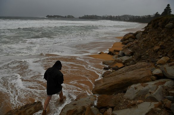
- The SES responded to more than 3400 incidents statewide. Active evacuation orders are in place for parts of Wamberal and The Entrance due to dangerous coastal erosion. Warnings for Burrill Lake and Sanctuary Point following flash flooding have been downgraded to “watch and act”.
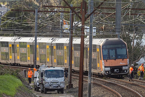
- Sydney commuters are being told to check advice before they travel and allow extra time on Thursday morning as many services return to normal after the wild weather of the last two days brought chaos to road, ferry and rail networks.


