This was published 2 years ago
Move over La Nina: Sydney to welcome warmer weather and less rainfall
By Laura Chung
After years of drought, fires and floods, Sydneysiders can look forward to a relatively old-fashioned autumn with warmer weather and less rainfall.
Weatherzone meteorologist James Rout said this was because the weather patterns that have driven the recent wet weather – including back-to-back La Nina events and a negative Indian Ocean Dipole – have weakened.

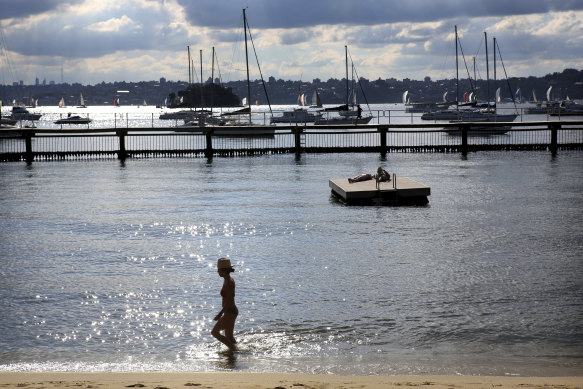
After years of drought, fires and floods, Sydneysiders can look forward to an autumn with warmer weather and less rainfall.Credit: James Alcock
For the next few months, sea surface temperatures in the Pacific Ocean will remain neutral throughout autumn, which will drive the above-average temperatures and less rainfall for much of the country. Parts of inland Australia will have cooler nights as well.
However, Rout said the warmer waters along the East Australian Current will draw more moisture to the coastlines, which means average temperatures and rainfall will probably occur. The additional moisture in the atmosphere also means we’re likely to see warmer nights.
But long-term forecasts in autumn are particularly hard to get right as ocean temperatures, which drive much of the onshore weather behaviour, can fluctuate, Rout said.
Weather models show that, after autumn, an El Nino cycle and positive Indian Ocean Dipole might occur, which would bring higher than average temperatures and less rainfall for summer. These two weather events occurred in 2019, when Australia experienced its worst bushfire season.

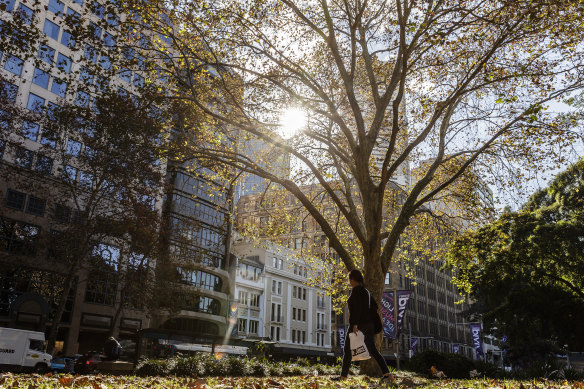
Autumn sunshine in Hyde Park, as seen in a file picture.Credit: Brook Mitchell
After years of heavy rainfall, authorities have been prevented from carrying out their normal mitigation efforts and are concerned about the strong grass growth in western NSW, which has elevated the risk of fires.
The outlook, released by the Australasian Fire and Emergency Service Authorities Council on Thursday, found there would also be increased risk for parts of Tasmania, Western Australia, and southern Queensland. Victoria remains at normal or below normal fire potential.
Grass fires have broken out already in western NSW near towns such as Cobar and Wentworth and in Queensland’s western Darling Downs. Despite predictions for a cooler autumn, temperatures in Sydney next week will hover in the high 20s, peaking on Monday at 34 degrees.
Australia has emerged from a particularly wet summer, with seasonal rainfall 27 per cent above average. While most of the deluge was in the north, large parts of Tasmania, Victoria, NSW and southern Queensland received heavy rainfall.
NSW recorded its 23rd wettest summer on record, receiving 108mm of rainfall on average, while Victoria recorded its 37th wettest summer and experienced an average of 92.3mm of rain.
Australia’s national mean temperature was half a degree warmer than the 1961-1990 average, and it was especially warm in the tropics, with severe to extreme heatwave conditions affecting parts of the north and the west during the year.
In addition to the influence of natural drivers, Australia’s climate is increasingly affected by global warming.
It has warmed on average by 1.47 degrees (give or take 0.24 degrees) between when national records began in 1910 and 2021, with most of the warming occurring since 1950.
Get to the heart of what’s happening with climate change and the environment. Our fortnightly Environment newsletter brings you the news, the issues and the solutions. Sign up here.