This was published 2 years ago
You’ve met Nina. Now SAM might make spring even wetter
By Miki Perkins
Spring is here, and the outlook is damp. Australians are well acquainted with La Nina – the damn thing just won’t leave – and coming to grips with the rain-bearing negative Indian Ocean Dipole. Now there’s another weather pattern to wrap your head around – the Southern Annular Mode, or SAM.
The Bureau of Meteorology predicts warmer-than-average sea surface temperatures paired with a negative Indian Ocean Dipole and a likely La Nina event will lead to a wetter-than-average spring.

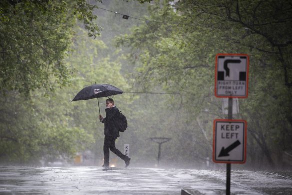
A wet spring has been forecast for parts of Victoria and NSW.Credit: Paul Jeffers
It says the SAM index is likely to be mostly positive for the coming three months, which will have a wetter influence on parts of eastern Victoria and eastern NSW.
But what is the SAM? In the region between Tasmania and Antarctica, strong westerly winds blow almost continuously and are associated with storms and cold fronts that move from west to east, bringing rainfall to southern Australia.
The SAM refers to how far north and south these westerly winds move. It has three phases – neutral, positive and negative. A positive SAM in summer brings an increased chance of rainfall, though this varies greatly by region.
Weatherzone meteorologist Andrew Schmidt says: “When southern Australia had that conveyor belt of cold fronts in winter that never seemed to end, the SAM was in negative mode. At the moment, SAM is more positive, and we aren’t having as many cold fronts.”
Unlike La Nina and the Indian Ocean Dipole (IOD), which are slowly moving weather patterns that can remain for months, SAM events tend to last for one or two weeks, though longer periods may occur.
Professor Nerilie Abram, a climate scientist at Australia National University, says: “It can change quickly because we’re only talking about the atmosphere, whereas La Nina and the IOD also include the ocean temperatures, and they stick around for many months.”
You’re probably familiar with the El Nino and La Nina weather patterns over the Pacific Ocean, which affect weather worldwide. For most of Australia, El Nino brings dry weather, while La Nina brings wet weather
There is a similar climate driver in the Indian Ocean – the Indian Ocean Dipole – which has the same impact through its “positive” and “negative” phases, respectively.
This is the second year in a row of a negative IOD, which refers to the patterns of sea surface temperature. While positive dipoles are associated with dry weather, negative dipoles can bring heavy rainfall and flooding to parts of Australia.
Abram says Australia’s natural year-to-year climate variability now occurs against a background of long-term, human-caused climate change. “As the climate warms the rainfall impacts we associate with normal climate variability are expected to become more extreme,” she says.
The climate patterns in the tropical Pacific have a global impact – the current heatwave in the western US has been exacerbated by La Nina.
The possibility of a third La Nina looks more than likely this year, with the Bureau of Meteorology previously upgrading the likelihood of a La Nina occurring.
If it does occur, it would be the first time on record that we have seen three consecutive La Nina events coinciding with back-to-back negative IOD events.
Get to the heart of what’s happening with climate change and the environment. Our fortnightly Environment newsletter brings you the news, the issues and the solutions. Sign up here.