‘Unstable environment’: Aussies warned to brace for golf ball-sized hail and flash flooding as thunderstorms sweep the country
Australians have been warned to brace for golf ball-sized hail and flash flooding, as thunderstorms are set to sweep the nation.

Environment
Don't miss out on the headlines from Environment. Followed categories will be added to My News.
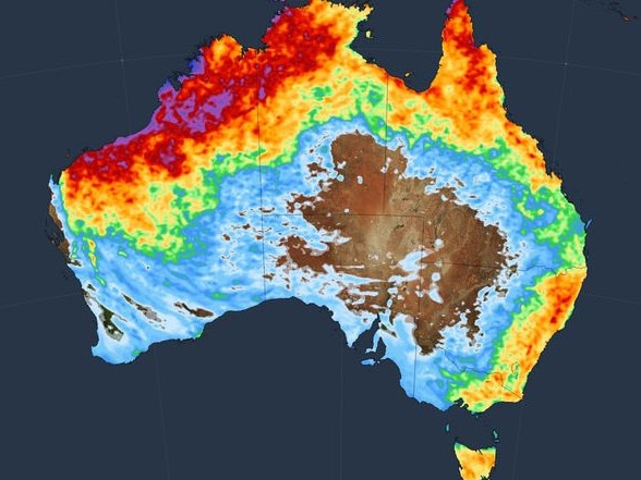
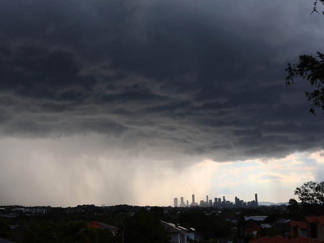
Australians have been warned of golf ball-sized hail, flash flooding and large wind gusts, as an “unstable environment” paves the way for thunderstorms across much of the country.
Sky News Weather meteorologist Alison Osbourne said there was the potential for storms across the nation on Tuesday, from Western Australia stretching all the way to Queensland and NSW.
“That’s due to quite a humid and unstable environment,” Ms Osbourne said.
“A lot of people feeling quite sweaty this morning – Brisbane, Sydney, it’s very humid.”
Ms Osbourne said clouds were expected to build before afternoon thunderstorms would likely hit “quite a broad region for Queensland and NSW”, with hail the size of “golf balls” a possibility for parts of NSW.
“In NSW, it’s just off the coastal fringe, so potentially western Sydney and Canberra looking more likely,” she said.
“Through eastern NSW (there’s a) threat of storms popping up in the afternoon potentially bringing large hail, large wind gusts, isolated heavy rain with flash flooding.”

Ms Osbourne said there was a risk of storms south of Queensland and in the border ranges, with the potential for “storms delivering heavy downpours” and flash flooding across central Queensland.
A cool change is also set to sweep through Western Australia and South Australia on Tuesday.
“At the moment we’re tracking a cool change in the form of a front making its way through Western Australia today,” she said.
“Throughout today it’ll be crossing South Australia, maybe reaching Adelaide with a late shower this evening.
“As it moves through the southeast tomorrow, there’s a high risk of thunderstorms ahead of it.”
Ms Osbourne said a cold front was expected to cross Victoria and Tasmania on Wednesday, bringing the risk of storm activity across both states.

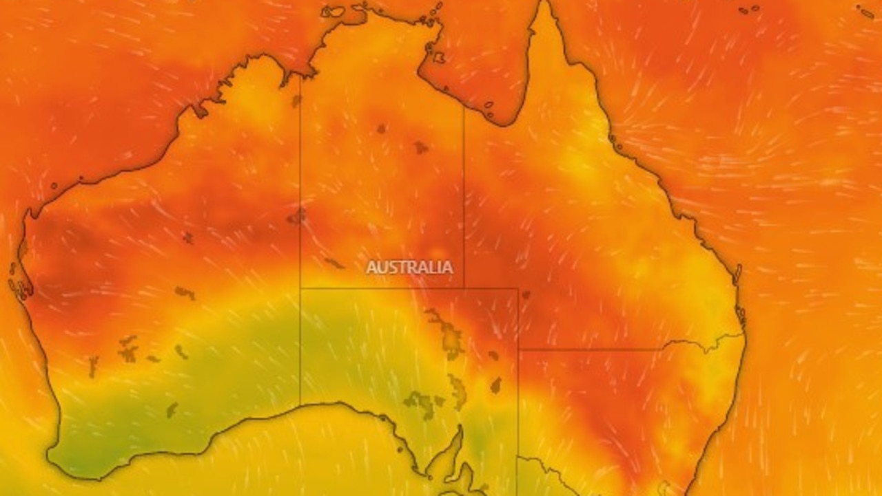
Heat spikes are also predicted to hit NSW, including Sydney, on Wednesday.
“A heightened threat of afternoon storms, then that cool change moves through Sydney Thursday morning,” Ms Osbourne said.
Sydney is set to reach a high of 31C on Wednesday with possible storms, while Melbourne is tipped to reach 28C with showers on Wednesday.
Brisbane is expected to hit a high of 37C on Thursday amid possible showers and thunderstorms through the week, while Perth is set to soar to a high of 40C on Thursday before potential showers on Friday.
Adelaide is forecast for a high of 24C on Wednesday with possible showers, and Hobart is tipped to hit 25C with possible showers and storms on Wednesday.
Canberra is set to hit 32C on Wednesday with a chance of thunderstorms, while Darwin is expected to hit a similar high of 33C with possible thunderstorms.
Originally published as ‘Unstable environment’: Aussies warned to brace for golf ball-sized hail and flash flooding as thunderstorms sweep the country


