NSW SES issues urgent warning ahead of wild weather weekend
One state’s SES heroes are pleading with Aussies to prepare for a weekend of storms, damaging winds and possible flash flooding.
Environment
Don't miss out on the headlines from Environment. Followed categories will be added to My News.
The SES has delivered a stark warning to Australians to prepare for a weekend of storms, heavy rainfall and possible flash flooding.
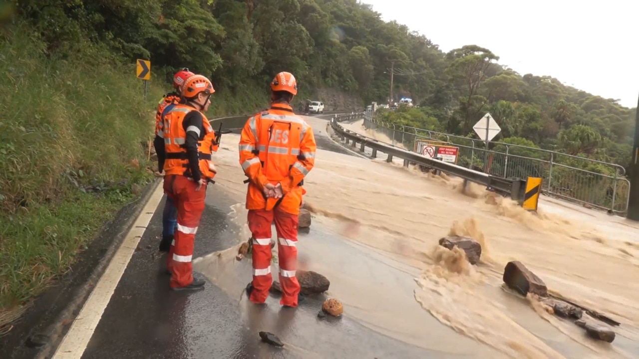
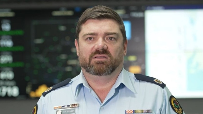
In an update from Friday afternoon, SES state duty commander acting assistant commissioner Paul McQueen asked residents across the country’s most populous state to remain vigilant and monitor conditions across Saturday and Sunday.
“There is the potential for flash flooding so please ensure you make safe decisions on the road and do not enter any flooded causeways or roads,” he said.
“Please do not drive, play or ride through flood waters.
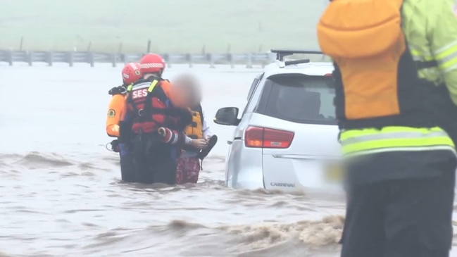
“Stop, turn around and find an alternative route. If you find yourself trapped on a flooded road call triple zero immediately.”
Severe thunderstorms are likely to produce damaging winds, large hailstones and heavy rainfall that may lead to flash flooding in the Southern Tablelands and parts of the Illawarra, South Coast, Sydney Metro, Central Tablelands, North West Slopes, South West Slopes, Central West Slopes and Plains and Snowy Mountains districts, the SES said.
The stormy weather started on Thursday.
So far, SES volunteers have responded to more than 420 incidents.
On Thursday night Appin and Douglas Park experienced a severe storm impact with many trees brought down, damaged roofs and uprooted fences, the SES said.
The main access route of Appin Road was closed in both directions for a number of hours. NSW SES led the response with assistance from other emergency services organisations, utility companies and the Wollondilly Shire Council.
A flood watch for minor flooding is now in place for the Colo River, Macdonald River, Castlereagh River, Macquarie River to Bathurst, Macquarie River downstream of Burrendong Dam, Bogan River, Lachlan River to Cotton’s Weir, Mandagery Creek, Tumut River, Upper Murrumbidgee River to Burrinjuck Dam and Cooma Creek, Queanbeyan and Molonglo Rivers catchments.
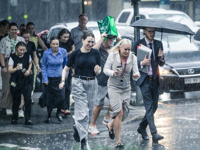
The Bureau of Meteorology has also warned Australians to brace for a “wet and stormy weekend” and the risk of flash flooding, with “no real break” from the wet weather expected anytime soon.
Bureau of Meteorology senior meteorologist Miriam Bradbury said a burst of moisture moving across the country’s east is set to increase the risk of heavy rainfall.
“Once again, cloudy skies, rain areas and embedded thunderstorms will be widespread, impacting Queensland, NSW, Victoria, southeast South Australia as well,” Ms Bradbury said.
“Severe storms may bring heavy falls and the risk of flash flooding to much of central and southern Queensland, inland NSW, and the ACT including Canberra, and northern Victoria, including the northern suburbs of Melbourne.”
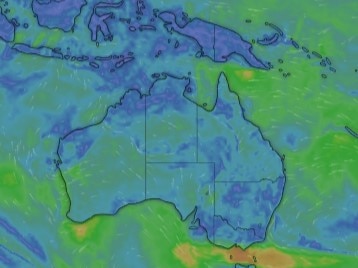
Brisbane, Sydney, the NSW east coast, Adelaide and Melbourne could experience non-severe thunderstorms heading into the weekend, while Tasmania is set to be hit by thunderstorms on Sunday.
“Rain is likely to turn to patchy showers through most areas on Sunday, but there will be no real break from the wet weather until sometime next week,” Ms Bradbury said.
A cloud band is set to extend across Australia’s east on Friday, bringing humidity, scattered showers and thunderstorms.
Widespread thunderstorms are forecasted for Queensland, however Brisbane is tipped for just a shower or two.
Moderate flood warnings are in place in Queensland across the Bulloo River, Moonie River and Warrego River, while minor warnings are in place across the Lower Barcoo River, Paroo River, Upper Balonne River and Weir River.
Sydney can expect severe storms with a risk of flash flooding, while Canberra is likely to have non-severe thunderstorms.
“The highest totals we see across NSW today will be tied to where those thunderstorms move, and could be quite hit and miss,” Ms Bradbury said.
A minor to moderate flood warning has been issued for the Belubula River.
Storms are possible through Victoria on Friday “but should remain isolated and non-severe,” however heavy falls and flash flooding remains a risk in the Kiewa River and Mitta Mitta River.
A minor flood warning has been issued for the North Esk River in Tasmania, while flooding is also possible in the Northern Territory’s Barkly District.
Tasmania is set to experience showers on Friday with a cloudy day tipped for Hobart.
Sydney is set to reach a high of 26C on Saturday despite rain, while Melbourne is tipped to reach 23C on Sunday.
Brisbane is forecast to hit 28C across the weekend while Perth could reach 30C on Saturday.
Adelaide could hit 26C on Sunday, with Hobart tipped for 22C on Sunday.
Canberra is expected to reach a high of 27C on Sunday while Darwin is set to hit 32C.
Originally published as NSW SES issues urgent warning ahead of wild weather weekend

