Flash flooding sweeps parts of Qld as rain, severe storms smash Australia’s east coast
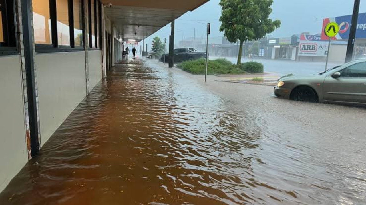
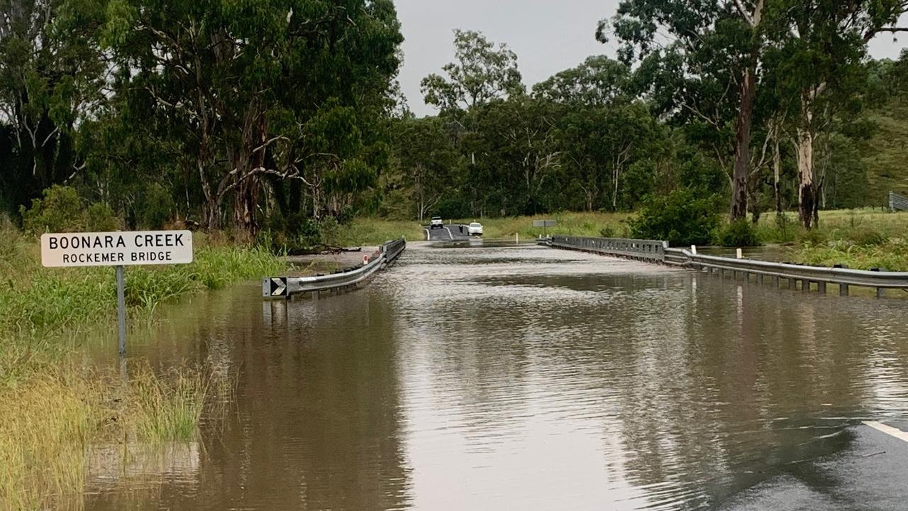
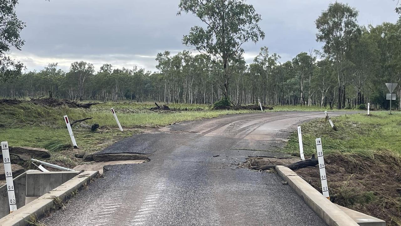
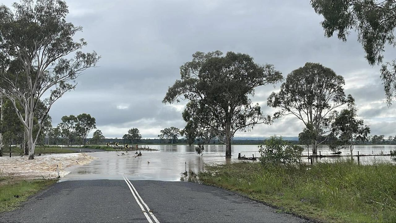
Roads have been blocked and ripped apart as emergency flash flooding warnings are issued for parts of a state being smashed by wet and stormy weather.
Flash flooding has ravaged parts of Queensland as millions of Australians face a wet and stormy weekend, with widespread showers and thunderstorms smashing down the east coast.
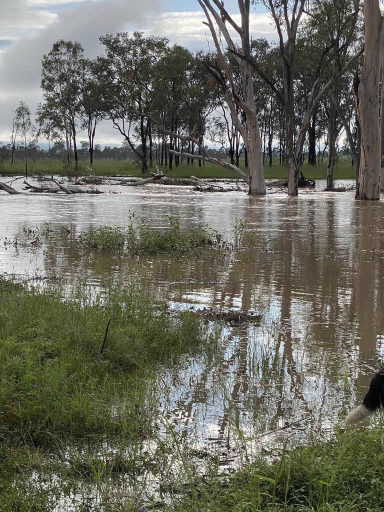
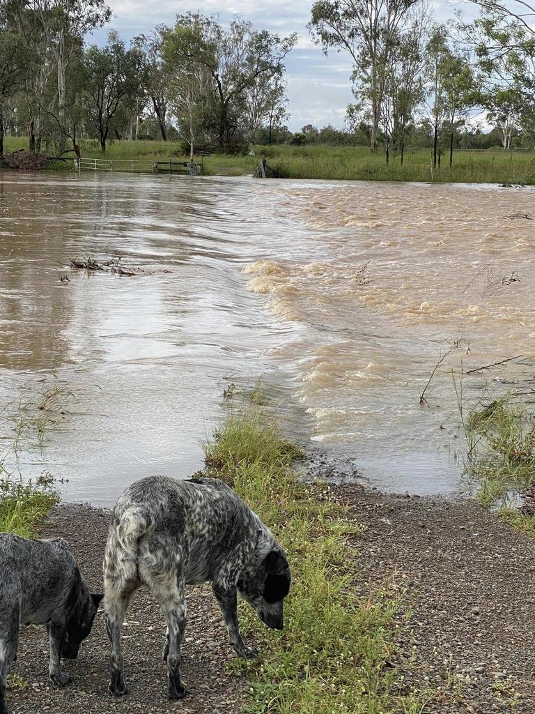
Heavy rainfall and rising rivers have caused flash flooding across parts of the South Burnett region in Queensland, preventing people from evacuating and tearing up the bitumen roads.
The Queensland Fire Department (QFD) received several calls overnight as the storms raged on, though all were non-rescue-related.
“Our crews went out, but by the time they got there, (those who made the call) were pretty much safe,” a QFD spokesperson told NewsWire.
Another person required a lift in the service truck back to their vehicle, which was not affected by flood waters.
An emergency ‘watch and act’ alert was issued for the state’s South Burnett council area late on Friday, warning residents that intense rainfall across the region had led to flash flooding.
“Do not drive unless necessary,” the Queensland Police Service alert read.
“Remember, if it is flooded, forget it.”
The Bureau of Meteorology’s Angus Hines said a “fairly solid drop of rain” soaked parts of Queensland’s east and southeast overnight, with average rainfall totals between 40mm and 80mm recorded in the past 24 hours.
The state’s Lockyer Valley region was smashed with a huge 123mm.
Mr Hines said there were also “decent” rainfall totals in New South Wales, although scattered across parts of the state.
With the rain continuing to hit the east coast in the coming days, multiple flood warnings have been issued for residents in parts of Queensland and NSW.
Warnings have been issued for the Boyne, Barrum, Mary and Bremer rivers, which have rapidly risen due to severe rainfall in the area.
Continuous rainfall and thunderstorms may also lead to flash flooding in parts of southeast Queensland, including the Caboolture and Redcliffe areas, the Bureau warned.
“Some rivers have already started to rise pretty sharply, but further river rises are expected with more rain in the next few days,” Mr Hines told NewsWire.
Flash flooding could also affect areas west of Brisbane.
Severe thunderstorm warnings have also been issued for parts of central NSW, with heavy rainfall, damaging winds and large hailstones targeting the Hunter, North West Slopes and Plains, Central West Slopes and Plains, South West Slopes, Riverina and Central Tablelands.
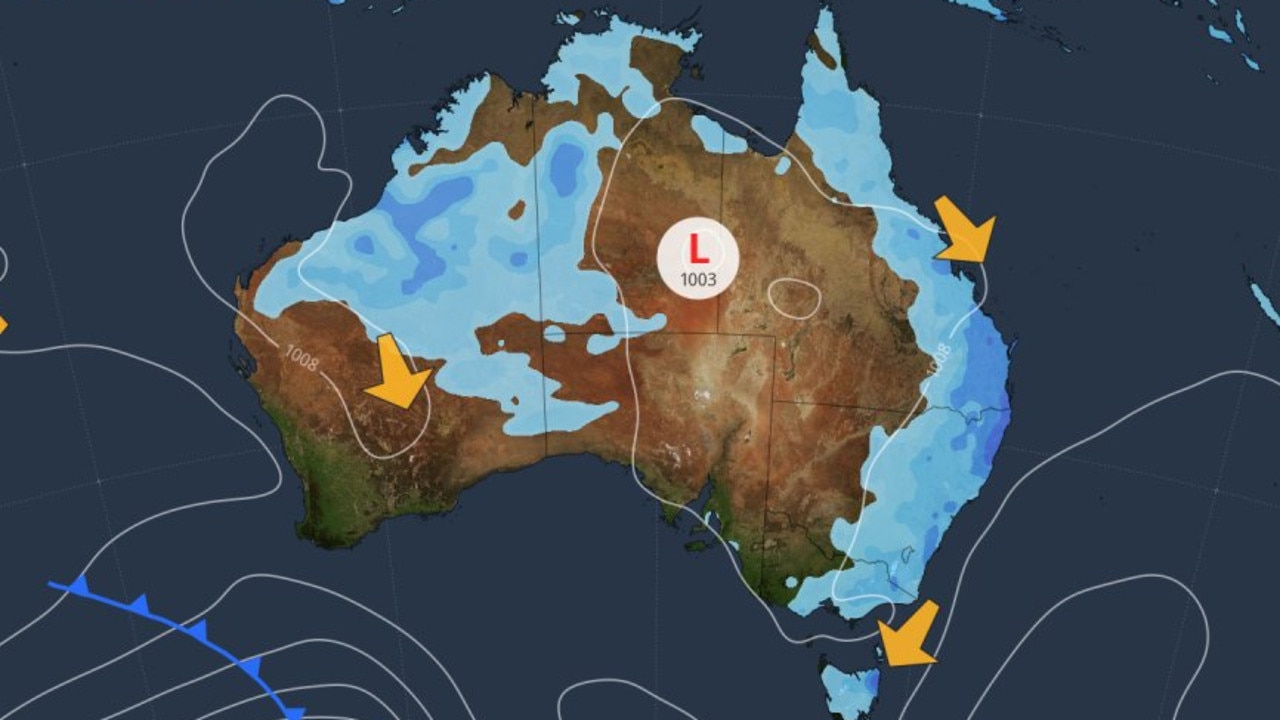
Mr Hines said while widespread showers and thunderstorms would hit northern and eastern parts of Australia and remain for the majority of the weekend, things are looking very different in the inland and southern areas.
“It’s going to be another hot weekend ahead,” Mr Hines said.
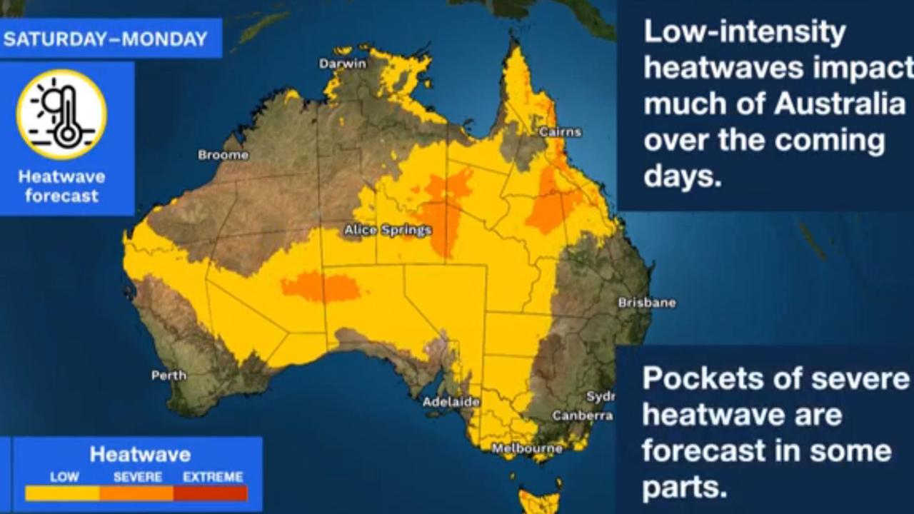
Widespread heatwave conditions are expected in large swathes of the country not affectedby the wet weather, as temperatures are expected to soar into the mid- to high 40s next week.
A heatwave warning has been issued for the northwest and inland regions of Western Australia, extending into northwest South Australia, much of Victoria and pockets of Tasmania.
Conditions are tipped be wet and very cloudy in Brisbane on Saturday, with the chance of a thunderstorm and a very high chance of rain, and a top of 25C.
Residents in Sydney can expect a cloudy and wet day with a high chance of showers and thunderstorms, possibly severe, reaching a top of 27C.
Canberra will have similar conditions, with a high chance of showers in the afternoon and a possible thunderstorm in the afternoon and evening, reaching a top of 25C.
Northeast and eastern parts of Victoria could be hit with showers and thunderstorms across the weekend, but the remainder of the state will be warm and humid.
It will be a sunny morning for Melburnians, with a slight chance of fog in the southeast and a chance of shower in the evening. The capital is headed for a top of 33C.
Inland parts of South Australia are predicted to be hit with heatwave conditions, as much of the state braces for hot and sunny weather across the weekend.
It is forecast to be mostly sunny in Adelaide, with light winds and a maximum temperature of 33C.
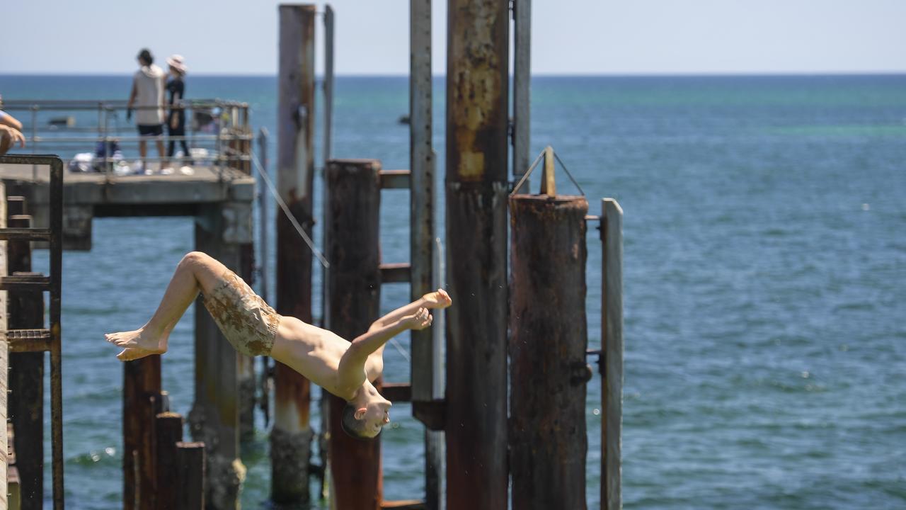
Tasmania will be warm and dry and temperatures could develop into low-intensity heatwave conditions.
Hobart residents can expect partly cloudy conditions, with a top of 28C and a chance of showers or possible thunderstorm in the afternoon and early evening.
Western Australia is likely to be dry and sunny in southern and western parts of the state, as it swelters through an oppressive heatwave.
In Perth, conditions are tipped to be sunny and hot, with light winds and a maximum temperature of 30C.
Hot and stormy conditions are likely to continue in the north, with temperatures expected to reach the low 40s in parts of the Northern Territory.
Residents in Darwin can expect a partly cloudy day with a slight chance of shower and maximum temperature of 34C.
Originally published as Flash flooding sweeps parts of Qld as rain, severe storms smash Australia’s east coast


