
Heavy rains hit Adelaide overnight, but falls expected to ease into Sunday
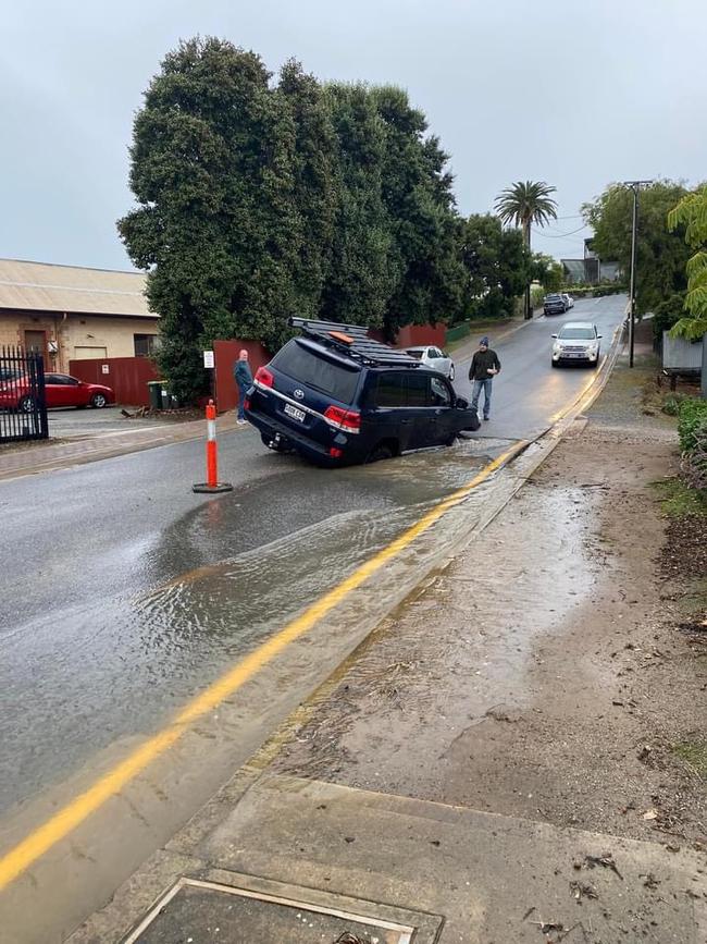
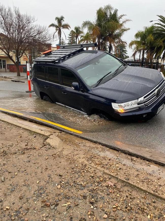
Emergency crews have attended more than a dozen call-outs after more than 30mm of rain drowned some parts of the city, with clouds still looming.

Weather
Don't miss out on the headlines from Weather. Followed categories will be added to My News.
A massive rain bomb has hit Adelaide, with falls of more than 30mm recorded in parts of the city overnight.
SES crews have attended about a dozen clean-up jobs in the past 12 hours, including trees down at a home in Crafers and Carey Gully.
A tree and power lines are also down at the intersection of Piccadilly Road and Cox Creek Road at Crafers, causing delays.
People are being urged to avoid the area where possible.
Up to 20mm of rain is expected to continue through Saturday morning before weather eases into the afternoon – good news for Crows fans headed to Adelaide Oval for the club’s clash with GWS.
As a cold front rolled across the state overnight, Burnside recorded 19mm of rain between 9am Friday and 6.30am Saturday.
Mt Lofty recorded 33mm, Stringybark 28mm, Belair 26mm, Crafers West 32mm and West Tce 12mm.
Maximum temperatures are expected to hit just 12 degrees on Saturday, before shivering down to just 6 degrees overnight.
Emergency crews have been called to Crafers after a huge tree came crashing down onto a home. @AmeliaMulcahy7 has the latest on our cold snap in 7NEWS Adelaide at 6pm. Send your videos and photos to 7NEWS Adelaide: https://t.co/xdDzDd1frA#7NEWSpic.twitter.com/nf4OZ84sJH
— 7NEWS Adelaide (@7NewsAdelaide) June 29, 2024
Adelaide’s weather details for the next six days:
Sunday, June 30: Mostly sunny. S’ly winds Min – 6. Max – 14.
Monday, July 1: Mostly sunny. SE/SW winds Min – 5. Max – 14.
Tuesday, July 2: Mostly sunny. SE/S’ly winds Min – 4. Max – 13.
Wednesday, July 3: Mostly sunny. SE winds Min – 4. Max – 14.
Thursday, July 4: Mostly sunny. SE winds Min – 5. Max – 14.
Friday, July 5: Mostly sunny. SE winds Min – 6. Max – 14.


Extreme chill sets in after wild winds and heavy rain
The worst of the wind and the rain may have moved on after wreaking havoc, but SA is now in the grips of an extreme chill bringing the coldest temperatures of the year by far.

Dust and desperation: Inside the fight to save SA’s farming future
The driest year on the books has pushed SA farmers to the brink. And on Friday, there were emotional scenes in the state’s Mid North. Find out why.