South Australian weather: Adelaide records second wettest year on record in 2016
A SEVERE thunderstorm warning has been issued for regions of South Australia — as the weather bureau today confirmed Adelaide had its second-wettest year on record in 2016.

- Heat is on: Get ready for the year’s first stinker
- Complete weather forecast for South Australia
- Massive blackout across SA as storm hits the state
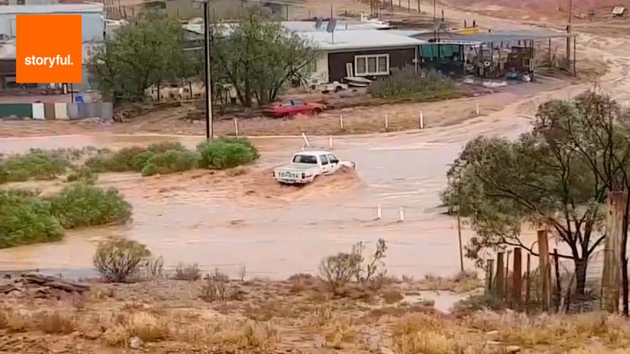
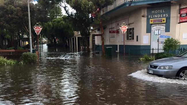
- Towns threatened by floods as huge storm passes
- Huge storm smashes Adelaide and South Australia
A SEVERE thunderstorm warning has been issued for regions of South Australia — as the weather bureau confirmed Adelaide had its second-wettest year on record in 2016.
The Bureau of Meteorology issued a warning about damaging winds and heavy rainfall for people in the Flinders, Riverland, Murraylands, Upper South East, North East Pastoral and parts of the Mid North and North West Pastoral districts.
The severe thunderstorms are likely to produce damaging wind gusts in excess of 90 km/h.
Heavy rain may also cause flash flooding over the next several hours at areas including Burra, Clare, Roxby Downs, Leigh Creek, Renmark and Keith.
It comes as the state braces for the first heatwave of 2017.
The Bureau of Meteorology has also released its annual climate statement, which reveals significant climate drivers affected the nation’s weather.
Australia had a dry start last year due to a very strong El Niño event — and resulted in drought conditions across large areas of South Australia’s southeast — until it broke down around May.
Climate information services assistant director Neil Plummer said it was followed by record wet from May to September as a negative Indian Ocean Dipole developed and ocean temperatures warmed in the northwest of Australia.
Annual rainfall was 17 per cent above average across Australia.
Adelaide recorded its second wettest year on record, with 821mm.
South Australia’s area-average rainfall - calculated by adding all of the rainfall totals from weather stations across the state to find the average - was 367.41mm, which was 63 per cent higher than the long term average.

After a very wet December, Uraidla recorded a total of 1790.6mm of rain in 2016 - the highest since 1917.
Rainfall in 2016 was in the highest 10 per cent of historical observations for parts of agricultural South Australia, including across the state’s north.
In late September, severe thunderstorms and a tornado outbreak caused widespread damage across the state.
While in the Murray-Darling Basin, already wet soils and full rivers meant rain caused flooding in many areas throughout September and October.
Maximum temperatures were above average for most of eastern South Australia, with minimum temperatures near average for the northern agricultural districts.
December brought a warm finish to the year for the eastern states and SA with the Bureau of Meteorology also releasing the state’s December summary today.
Bureau of Meteorology data shows day and night temperatures started off generally near average at the beginning of the month, but heatwave conditions saw well above average temperatures during the Christmas period.
The hottest December day was 45.9C at Oodnadatta Airport on December 1.
Daytime temperatures were more than one degree above average across southern districts, extending into the state’s northeast, however the far northwest experienced cooler than average maximum temperatures.
The northeast pastoral reported minimum temperatures up to three degrees above average
overall, and the statewide December mean minimum temperature was the sixth-warmest on record.
A tropical low at the end of the month brought record high daily rainfall for many locations across the state between the 27 and 29 December.
Ernabella (Pukatja) in the APY Lands recorded 117.2mm at on the 27th and the highest rainfall, 217mm for the month.
It was the wettest December on record in SA, surpassing the previous wettest December set in 1988, as much of the state reported more than double the recorded monthly average.
