
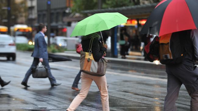
Adelaide to brace for drenching after record dry year
Rain has swept SA overnight, with some areas already recording more than 20mm of the wet stuff.
SA News
Don't miss out on the headlines from SA News. Followed categories will be added to My News.
After sunshine on Wednesday, South Australians are being treated to some rare rain, with some areas already recording more than 20mm.
After Adelaide recorded its driest run of February-April weather in 100 years, the Bureau of Meteorology is tipping a very high chance of rain most likely in the afternoon and evening. Winds will be north to north-westerly 25 to 40 km/h, tending northwest to south-westerly 20 to 30 km/h in the morning then becoming light in the late afternoon. The estimated top temperature for Adelaide is 15C.
Since 9am on Wednesday, Pandana on Kangaroo Island has had 25.8mm, while Cape Borda, also on KI had 21.6mm.
Some 4mm has so far fallen in the city, while down south in Noarlunga there has been 11.4mm.
Showers are set to hang around heading into the weekend with up to 4mm in the city on Friday, up to 3mm tipped for Saturday and another 4mm again on Sunday. Showers will continue until at least the middle of next week.
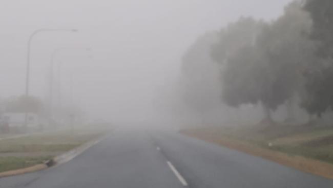
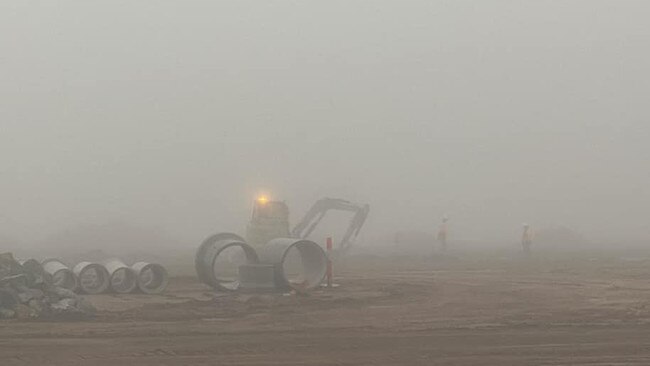
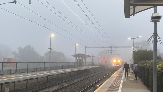
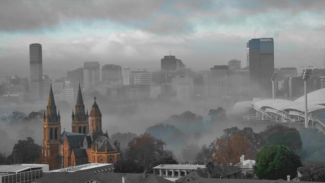
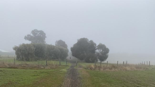
On Tuesday, thick fog enveloped parts of South Australia, with reports of a pea-souper in Two Wells, Evanston Gardens and Munno Para Downs, as well as on the Eyre Peninsula.
Reader Jandy Mason said the fog was so deep, it was “like the clouds fell to the ground”.

Join the conversation

Raunchy new R-rated social media campaign raises eyebrows
SA Health has taken a racy approach to remind South Aussie lovers to practise safe sex.
Read more

$40k per hour: Inside LIV Golf’s luxury private jets
Go inside the massive luxury airliner and opulent private jets which have brought LIV Golf’s superstars to Adelaide.
Read more