
Climate Valuation risk analysts reveal Australia’s Top 30 council areas for riverine flooding, four in SA
Just because you’ve got insurance doesn’t mean you’re covered in SA’s highest risk flood areas, owners have been warned. See the list of dangerous areas.

SA News
Don't miss out on the headlines from SA News. Followed categories will be added to My News.
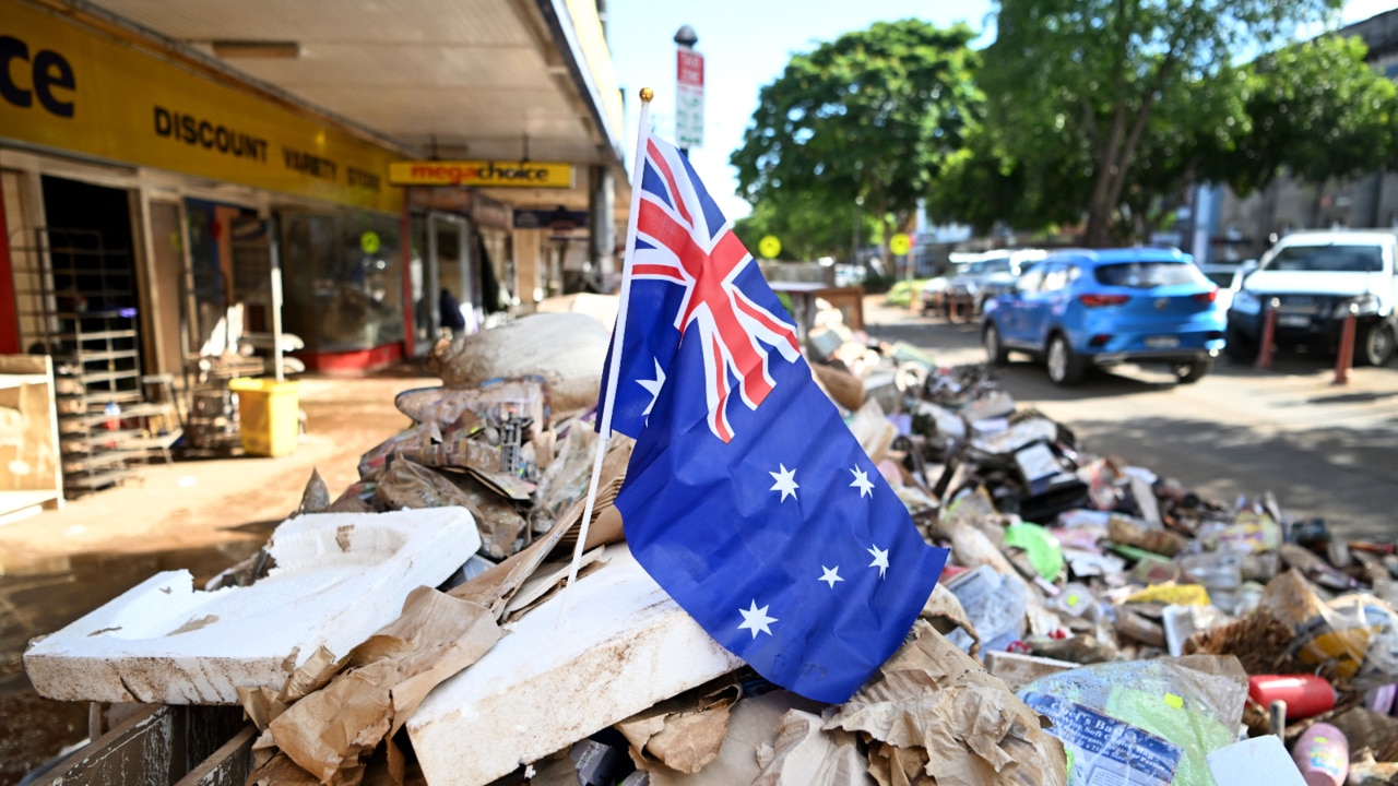
South Australian homeowners are being urged to check their exposure to flood risk as insurance is no longer guaranteed as a result of climate change variables.
Risk analysts at Climate Valuation identified the top 30 local government areas for riverine flooding in Australia, ranked by the percentage of flood-prone properties.
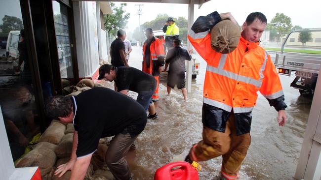
The study found more than 100,000 flood-prone properties within just four local SA government areas and about 15,000 of these were likely to be “uninsurable or unaffordable to insure”.
Climate Valuation has an online service that allows owners and prospective buyers to check any address for risks from worsening extreme weather and climate change now, in 2050 and by 2100.
Climate Valuation chief executive Dr Karl Mallon said the SA suburbs or towns with more than 1000 properties at risk were identified as West Lakes, Grange, Renmark, Semaphore Park, Port Adelaide and Mawson Lakes.
“We buy flood data from international experts with multiple sources,” he said. “The maps we use are worth literally millions of dollars, so they can‘t be released. We get the data on an address-by-address basis and then provide that information in that way and that makes it affordable for people.”
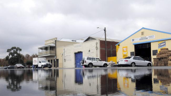
Charles Sturt Council comes in at number eight on the national top 30 list, with 73 per cent of properties at risk of flooding. That’s 49,597 properties in total, including 6341 at the highest level of risk.
Port Adelaide Enfield Council is not far behind at number 11 with 55.5 per cent (40,936 properties) at risk including 3745 high risk.
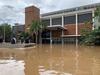
Mid Murray District Council follows with 36.02 per cent (4481 properties) including 3399 high risk, while Alexandrina District Council is number 22 with 35.98 per cent (8013 properties) including 2403 at high risk.
To put this in perspective, flood-hit Lismore in northern New South Wales actually comes in at number 27, with 29.22 per cent (7984 properties) including 2247 at high risk.
Dr Mallon said the annual cost to insure some properties in Lismore was as high as $30,000 for a house worth $600,000.
He said that was not a failure of the market, but rather a failure in planning, because development had been allowed in flood-prone areas. But climate change was shortening the odds of a 1-in-100 year flood.
Port Adelaide Enfield Mayor Claire Boan was well aware of the risk and had been “working with other organisations for many years to identify our exposure and vulnerability, and what the priorities for hazard and risk mitigation are due to the combined effects of sea level rise, storm surge and high volumes of stormwater”.


First alleged neo-nazis face court in push to declare NSN symbol criminal
Fourteen alleged neo-nazis are moving through court after a mass arrest over an Australia Day protest in the CBD, with police saying their symbol should be criminalised. Read the live updates.
‘It’s me who owes much to so many others, especially the SA community’
He served as a senator for 18 years, now Simon Birmingham sends a heartfelt farewell as he bows out from the political arena.