
Adelaide’s autumn set to be warmer, drier than average
SUMMER is about to finish but there will be no end to the sunshine this week — with a run of hot, dry days forecast for the start of autumn.
SUMMER officially finishes on Tuesday but there will be no end to the sunshine this week — with a run of hot, dry days forecast for the start of autumn.
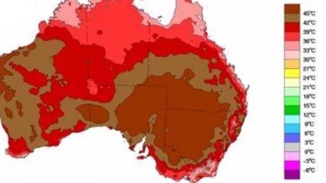
Despite Adelaide’s wettest summer in 80 years, the season will end on a summery note, with four days of 37C forecast from Tuesday, before dropping to 34C on Saturday and 31C on Sunday.
And the pattern of warmer, drier than average weather looks set to last for the rest of the autumn season, with late rain in the agricultural regions.

The Bureau of Meteorology released its autumn climate outlook last week, which revealed high pressure systems, and warming Pacific Ocean temperatures were expected to be climate influencers.
Bureau climate prediction service manager Dr Andrew Watkins said South Australia had a 70 to 75 per cent change of being drier than average.
“March is looking pretty dry,” he said.
“The South-East agricultural areas, there the odds aren’t quite as high, but still are certainly on the dry side.”
Getting into April, the odds of drier than normal conditions increase to an 80 per cent chance in the SE agricultural region, along with daytime temperatures.
Dr Watkins said high-pressures systems would drive the warm and dry conditions in SA and much of southern Australia.
“What that really means for weather is less cloud, sunnier, and also less chance of rain,” he said.
High-pressure systems also tend to push cold fronts — that return to SA as winter approaches — away, and are expected to delay the impact on southern Australia.
Dr Watkins said this year followed a trend meteorologists have been seeing for a number of years.
“The last 26 autumns south eastern Australia has actually been drier than average,” he said.
“For 22 of them, the trend that we’re seeing of higher pressure through the Bight is affecting and slowing down the weather systems and fronts moving back up over southern Australia.”
Dr Watkins said there were also signs of warming in the Pacific Ocean, which can lead to an El Niño event — although at the moment the bureau was not expecting one any time soon.
Instead, it would be a dry start to the crop and pasture growing seasons in the state’s agricultural areas and throughout Adelaide.
“It’s trending towards drier where last year it was trending towards wetter,” he said.
Dr Watkins said around Anzac Day farmers usually expect the first of the good winter rains.
But judging by the bureau’s outlook that’s likely to come a bit later.
“Given how warm that outlook is, at least the soil temperatures should stay warmer for a bit longer which of course helps ... when the rain comes and day gets shorter,” he said.