
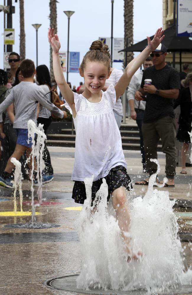
Adelaide weather: Top of 28C forecast, but rain coming
MAKE the most of the warmer weather as the city heads for a top temperature of 28C today, because a cool change is on its way. But there is little chance of relief for farmers, who have just endured the driest September on record for 12 years.

MAKE the most of the warmer weather, as the city reaches a top temperature of 28C on Tuesday, because it’s all downhill from there.
The Bureau of Meteorology expects warmer north-easterly and north-westerly morning winds will shift south-westerly late in the day.
After a possible evening shower or thunderstorm, the city will cool to a low of 13C overnight before climbing to a maximum of 19C on Wednesday.
Top temperatures will hover around the high teens and low 20s for the rest of this week and early next week.
On Monday Adelaide reached a maximum of 25C at 10.30am.
But daytime temperatures ranged across the state from 16C at Cape Borda through to 35C at Oodnadatta.
The Bureau’s Climate and Water Outlook for October to December reveals a high (80 per cent) chance of warmer than average days and nights for most of the state.
Below-average rainfall and low flow into water storages is also expected to continue, with little chance of relief for farmers.
So far this year Adelaide has had 337.6mm of rain (measured at Kent Town), compared with the average 428.1mm.
It was the driest September on record for 12 years, according to the Bureau.
Only 21.4mm of rainfall was recorded in Adelaide’s CBD across the month with the average for September being 50.9mm.
Aldgate received just 36.6mm compared to its monthly average of 120mm.
“These are the record lowest for these places which is kind of stark,” forecaster Sam Slattery told ABC radio.
Bureau senior hydrologist Paul Feikema said soils were very dry and water storages low across the Murray-Darling Basin, when you’d expect them to be higher after winter rain.
“Compared to this time last year, storages across the whole Basin are much lower,” he said.