Adelaide expected to finally get rain after historic dry spell
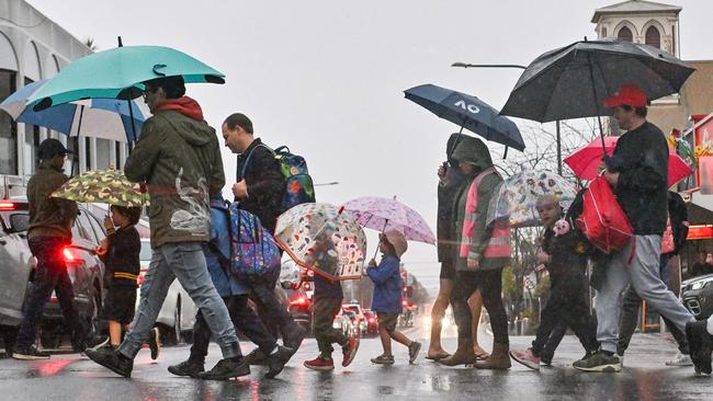
South Australia’s historic dry spell has finally been broken, with 10mm of rain falling in Adelaide today. And it looks like we’re set for a similar drenching tomorrow.
SA News
Don't miss out on the headlines from SA News. Followed categories will be added to My News.
South Australia’s historic dry spell has finally been broken, with 10mm of rain falling in Adelaide on Thursday.
And if the forecast holds, it looks like we’re set for a similar drenching on Friday.
Adelaide’s West Tce rain gauge recorded 9.8mm in four hours between 6.30am and 10.30am as a rain band swept over the city.
Showers had cleared to the state’s east by late morning, but not before falls of up to 25mm were recorded across parts of the Mount Lofty Ranges.
Rain has been recorded across much of the state, with falls of 5-10mm in the Far West and Eyre Peninsula and up to 10mm on the Yorke Peninsula, Mid North, South East, Riverland and even as far north as Leigh Creek and Marree.

The rain is forecast to continue into Friday, with showers delivering falls ranging from 4-7mm across the state’s regions.
The Bureau of Meteorology is forecasting a very high chance of showers with 3-10mm of rain in Adelaide for Friday.
Most of the showers are expected to have cleared by the weekend.
Hit the play button to see how the rain will move over the day
It comes after the state’s historically dry start to 2024 continued deep into May.
Adelaide recorded its driest run of February-April weather in 100 years.
The dry spell was broken last week, but the light showers weren’t the opening rains farmers had hoped for, with some fearing the weather could spell disaster for SA produce.
Looking ahead, the Bureau of Meteorology’s long term forecasting is predicting “unusually high rainfall during June to August”.
Unusually high rainfall is defined as the highest 20 per cent of June to August rainfall from 1981 to 2018.
After a warmer-than-usual but wet day today – with a forecast top of up to 22C tipped for the city – the temperature will drop to a high of 17C tomorrow.
And those predicted conditions will last past Saturday’s start to winter, continuing into next week.
Adelaide details for the next six days:
Friday, May 31: Mostly cloudy. Showers. NW/SW winds Min – 11. Max – 17.
Saturday, June 1: Partly cloudy. Clearing shower. SE/S’ly winds Min – 6. Max – 17.
Sunday, June 2: Mostly sunny. SW/SE winds Min – 5. Max – 17.
Monday, June 3: Mostly cloudy. E’ly winds tending NW Min – 4. Max – 17.
Tuesday, June 4: Cloudy. Late shower. E/S’ly winds Min – 6. Max – 17.
Wednesday, June 5: Cloudy. Possible shower. SW winds Min – 8. Max – 18.


