
Concept plans for the Port Willunga North Coast Park released
The plans for a Port Willunga coastal path – which will make up part of a 70km walking and cycling path from North Haven to Sellicks Beach – have been unveiled. SEE THE PICTURES.

South
Don't miss out on the headlines from South . Followed categories will be added to My News.
- State Government matches council funding for $5.3m Witton Bluff Base Trail
- How to get the most out of your Advertiser digital subscription
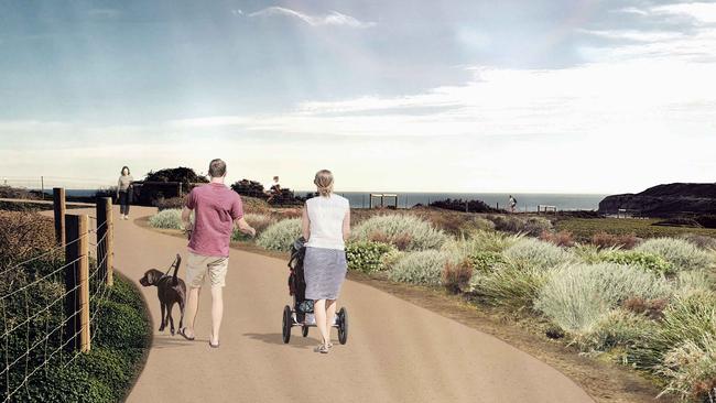
The first concept plans for a 2.8km section of a coastal path stretching 70km from North Haven to Sellicks Beach have been released.
Onkaparinga Council has unveiled the plans for the $4.2 million Port Willunga North Coast Park from Maslin Unclad Beach to Port Willunga as it seeks community consultation.
The section of path will connect with existing sections of the coast to create a 6.8km continuous path linking Maslin, Port Willunga and Aldinga beaches.
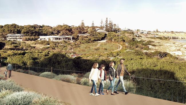
It will incorporate paths through Blanche Point Lookout car park, Chinaman Gully, Willunga Creek and provides a new section of pathway at the former Port Willunga Caravan Park site.
The plan focuses on improving access to the beach and cliff as well as vegetation management and cliff stabilisation.
It includes construction of a new bridge across Willunga Creek and Chinaman Gully, extensive revegetation of the former caravan park site and installation of public art.
The council will also work with the Kaurna community throughout the project as Port Willunga – specifically the former caravan park site and Willunga Creek – are highly significant to the Kaurna people.
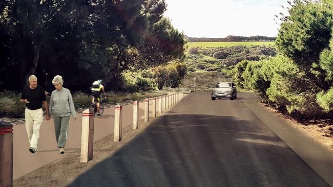
Since 2003, Onkaparinga Council has been working with State Government to link its 31km of coastal path into a 70km path stretching the entirety of the metropolitan coast.
To date, 17km of the council’s 31km of coastal path has been completed.
Community consultation for the Port Willunga North Coast Park is open until October 9.
Leave your feedback at yoursay.onkaparinga.sa.gov.au/port-willunga